Transport Functions
Port
Airport
Hub Profile
Place type
Populated place
Region
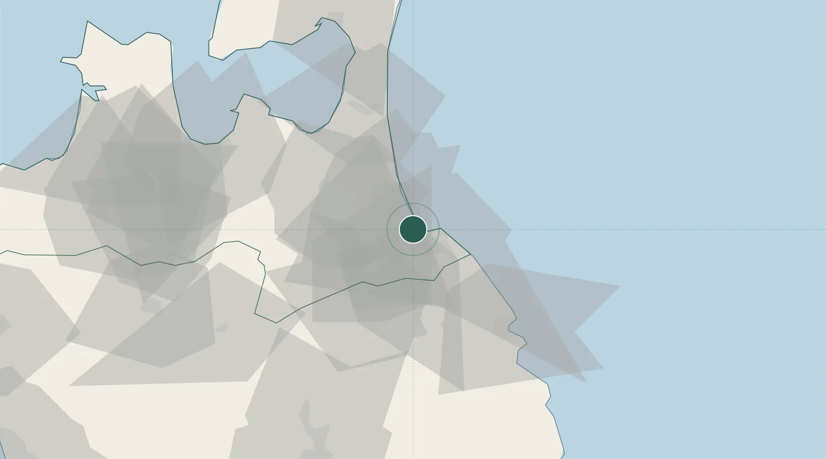
Aomori
Time zone
Asia/Tokyo
Elevation
15 m
Logistics facilities
4
Container terminals
1
Location
Nearby Logistics Neighbours
Cities
- 1Ninohe34 km
- 2Yokohama, Aomori64 km
- 3Hachimantai67 km
- 4Tono136 km
- 5Kitakami143 km
Ports
- 1Aomori Ko70 km
- 2Miyako109 km
- 3Noshiro Ko130 km
- 4Kamaishi Ko146 km
- 5Akita-Funakawa Ko150 km
Airports
DatabookThe Record of Consolidated Knowledge
Japan beyond logistics?