Transport Functions
Multimodal
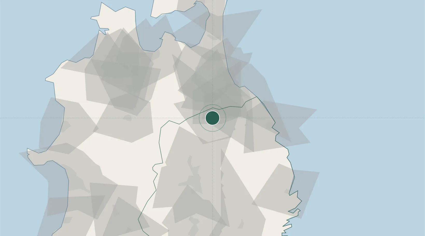
Hub Profile
Place type
Provincial seat
Region
Iwate
Population
25,513
Time zone
Asia/Tokyo
Elevation
261 m
Location
Nearby Logistics Neighbours
Cities
- 1Hachinohe34 km
- 2Hachimantai47 km
- 3Yokohama, Aomori91 km
- 4Tono108 km
- 5Kitakami111 km
Ports
- 1Hachinohe Ko36 km
- 2Aomori Ko78 km
- 3Miyako91 km
- 4Noshiro Ko111 km
- 5Akita-Funakawa Ko122 km
Airports
DatabookThe Record of Consolidated Knowledge
Japan beyond logistics?