UN/LOCODE hub · Japan
JPZAL

Yokohama, Aomori

41.0833°, 141.2500°
1
Transport functions

Transport Functions

Multimodal
UN/LOCODE

Hub Profile

Region
02
GeoNames

Location

Location of JPZAL
Natural Earth 10m (public domain) · 02 · JPZAL · 41.08, 141.25GoogleOSMYandex

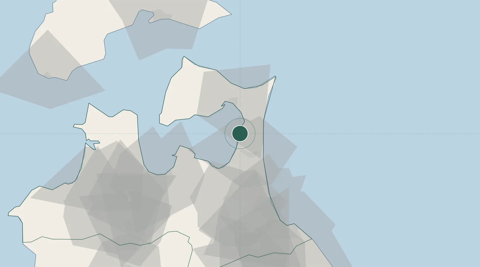
Nearby Logistics Neighbours

Cities
  1. 1Hachinohe64 km
  2. 2Ninohe91 km
  3. 3Fukushima, Hokkaido94 km
  4. 4Hokuto Hokkaido96 km
  5. 5Hachimantai131 km
Nearest neighbours — logibook spatial index (haversine) over the source coordinates
Ports
  1. 1Aomori Ko50 km
  2. 2Hachinohe Ko66 km
  3. 3Hakodate Ko90 km
  4. 4Mori128 km
  5. 5Esasi Ko129 km
Nearest neighbours — logibook spatial index (haversine) over the source coordinates
Airports
  1. 1Misawa Airport / Misawa Air Base43 km
  2. 2Aomori Airport61 km
  3. 3JMSDF Hachinohe Air Base / Hachinohe Airport62 km
  4. 4Hakodate Airport84 km
  5. 5Odate Noshiro Airport124 km
Nearest neighbours — logibook spatial index (haversine) over the source coordinates
DatabookThe Record of Consolidated Knowledge
Japan beyond logistics?
Browse databook

All Sources

LocationsUN/LOCODE
UN/LOCODE — free
Portsthe NGA World Port Index
Public domain (US gov)
AirportsOurAirports
Public domain
Trade Zonesthe World Bank SEZ database
CC BY 4.0
Trade ZonesOpen Zone Map
CC BY
← Japan locations