UN/LOCODE hub · Ireland
IEWCQ

Waterford City Quays

52.2500°, -7.1000°
1
Transport functions

Transport Functions

Port
UN/LOCODE

Hub Profile

Region
WD
GeoNames

Location

Location of IEWCQ
Natural Earth 10m (public domain) · WD · IEWCQ · 52.25, -7.10GoogleOSMYandex

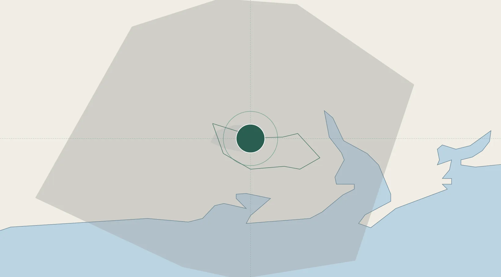
Nearby Logistics Neighbours

Cities
  1. 1Waterford5 km
  2. 2Waterford Great Island (ESB)8 km
  3. 3Duncannon/Saint Helens9 km
  4. 4Stokestown/New Ross14 km
  5. 5Marshmeadows/New Ross18 km
Nearest neighbours — logibook spatial index (haversine) over the source coordinates
Ports
  1. 1Waterford2 km
  2. 2New Ross18 km
  3. 3Rosslare52 km
  4. 4Cork91 km
  5. 5Cobh93 km
Nearest neighbours — logibook spatial index (haversine) over the source coordinates
Airports
  1. 1Waterford Airport7 km
  2. 2Cork International Airport105 km
  3. 3Casement Air Base125 km
  4. 4Weston Airport129 km
  5. 5Shannon Airport133 km
Nearest neighbours — logibook spatial index (haversine) over the source coordinates
Trade Zones
  1. 1Shannon Free Zone132 km
  2. 2Dublin International Financial Services Centre135 km
  3. 3Cornwall Newquay Aerohub Enterprise Zone250 km
  4. 4Isle of Man Free Zone and Business Park263 km
  5. 5Oceansgate Plymouth291 km
Nearest neighbours — logibook spatial index (haversine) over the source coordinates
DatabookThe Record of Consolidated Knowledge
Ireland beyond logistics?
Browse databook

All Sources

LocationsUN/LOCODE
UN/LOCODE — free
Portsthe NGA World Port Index
Public domain (US gov)
AirportsOurAirports
Public domain
Trade Zonesthe World Bank SEZ database
CC BY 4.0
Trade ZonesOpen Zone Map
CC BY
← Ireland locations