UN/LOCODE hub · Ireland
IEWAT
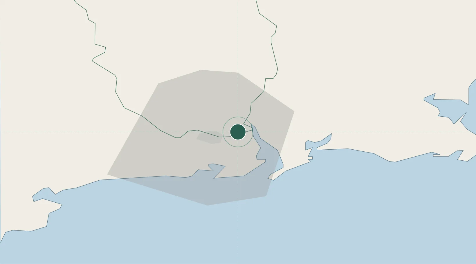
Waterford
52.2657°, -7.0353°
53,504
Population
4
Transport functions
1
Container terminals
Transport Functions
Port
Road
Airport
Postal
Hub Profile
Place type
Provincial seat
Region
Munster
Population
53,504
Time zone
Europe/Dublin
Elevation
10 m
Logistics facilities
2
Container terminals
1
Location
Nearby Logistics Neighbours
Cities
Airports
- 1Waterford Airport9 km
- 2Cork International Airport110 km
- 3Casement Air Base122 km
- 4Weston Airport126 km
- 5Shannon Airport137 km
Trade Zones
DatabookThe Record of Consolidated Knowledge
Ireland beyond logistics?