Seaport · Indonesia
SurabayaIDSUB
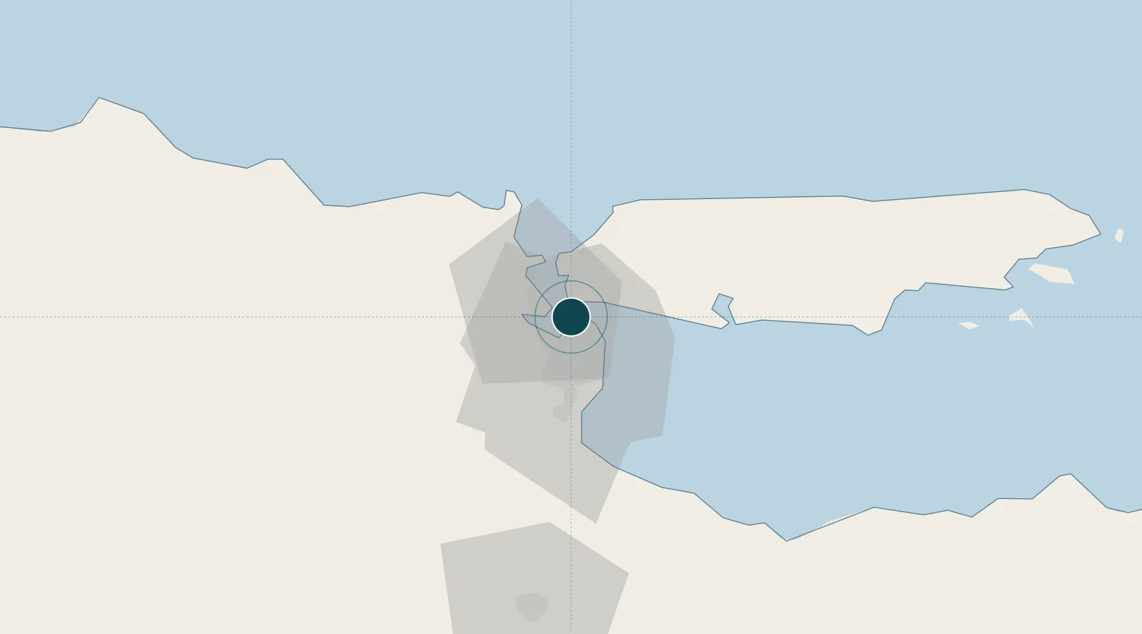
-7.2000°, 112.7333°
9.4 m
Channel depth
4
Container terminals
399.2
Port liner connectivity
Channel & Berth Profile
Pilotage, Tugs & Services
Pilotage compulsoryYES
Pilotage availableYES
Pilotage advisableYES
Local assistanceYES
Tug assistanceYES
Shore powerYES
Potable waterYES
Diesel bunkersYES
MedicalYES
Garbage disposalYES
Facilities & Capabilities
Container—
Ro-Ro—
Liquid bulk—
Dry bulk—
Oil terminal—
Break bulk—
Dry dockNO
RepairsNO
BunkeringYES
Rail linkYES
Dangerous cargo—
ISPS security—
Harbour Specifications
Harbour size
Medium
Harbour type
Coastal (Breakwater)
Shelter
Good
Water body
Bali Sea; Java Sea; South Pacific Ocean
Pilotage
Yes
Liner Connectivity
399.2
PLSCI
Port Liner Shipping Connectivity Index for Surabaya, as published by UNCTAD for the latest available quarter. Higher values indicate stronger scheduled liner-shipping integration.
Shown relative to the highest per-port PLSCI in the dataset (1,657.9).
Location
Container Terminals · 4
BERLIAN JASA TERMINAL INDONESIA (BJTI)
BJTI PT BERLIAN JASA TERMINAL INDONESIA (BJTI)
TERMINAL PETIKEMAS NILAM
TPNI PT TERMINAL TELUK LAMONG (TTL)
TERMINAL PETIKEMAS SURABAYA (TPS)
TPS PT TERMINAL PETIKEMAS SURABAYA (TPS)
TERMINAL TELUK LAMONG
TTL PT TERMINAL TELUK LAMONG (TTL)
Nearby Logistics Neighbours
Ports
- 1Gresik11 km
- 2Poleng Oil Field64 km
- 3Probolinggo78 km
- 4Tuban83 km
- 5Panarukan144 km
Cities
- 1Gresik, Java11 km
- 2Manyar17 km
- 3Mojosari41 km
- 4Mojokerto44 km
- 5Madura Terminal46 km
Airports
- 1Juanda International Airport21 km
- 2Abdul Rachman Saleh Airport81 km
- 3Dhoho International Airport106 km
- 4Notohadinegoro Airport157 km
- 5Banyuwangi Airport216 km
Trade Zones
DatabookThe Record of Consolidated Knowledge
Indonesia beyond logistics?