Export Processing Zone · Indonesia

Maspion Industrial Estate Active
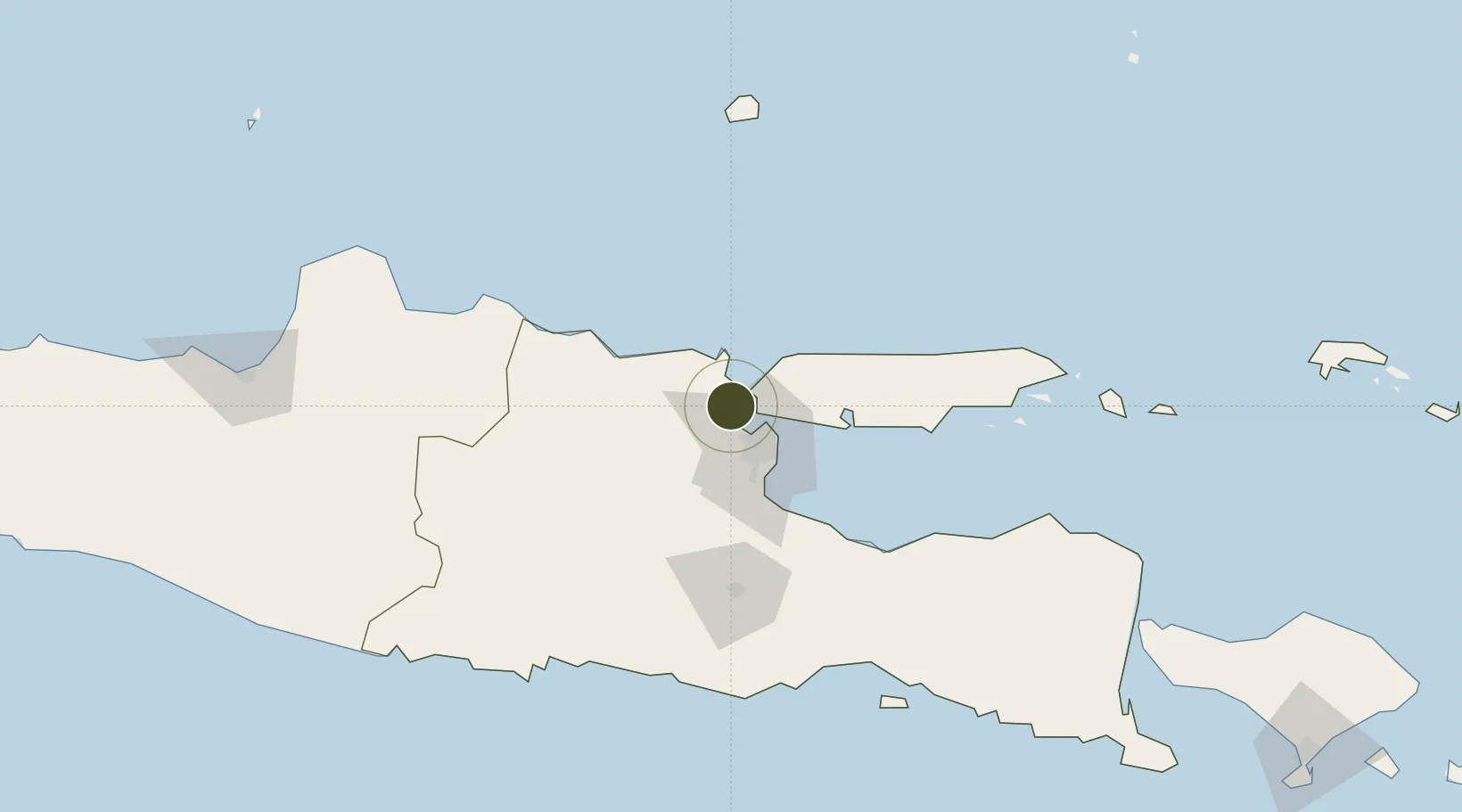
-7.1270°, 112.6100°
442 ha
Zone area
5.1 km
Nearest port
34.2 km
Nearest airport

Gateway access

Nearest neighbours — logibook spatial index (haversine) over the source coordinates

Zone profile

Zone type
Export Processing Zone
Open Zone Map
Region
Jawa Timur
Open Zone Map
Status
Active
Open Zone Map
Management
Public-Private Partnership
Open Zone Map
Operator
PT. Maspion Industrial Estate
Open Zone Map
Legal framework
The Law No 3. Article 106, issued in 2014
Open Zone Map

Location

Location of ozm-2434
Natural Earth 10m (public domain) · Jawa Timur · ozm-2434 · -7.13, 112.61GoogleOSMYandex

Nearby Logistics Neighbours

Ports
  1. 1Gresik5 km
  2. 2Surabaya16 km
  3. 3Poleng Oil Field63 km
  4. 4Tuban67 km
  5. 5Probolinggo94 km
Nearest neighbours — logibook spatial index (haversine) over the source coordinates
Airports
  1. 1Juanda International Airport34 km
  2. 2Abdul Rachman Saleh Airport90 km
  3. 3Dhoho International Airport101 km
  4. 4Notohadinegoro Airport172 km
  5. 5Adisumarmo Airport209 km
Nearest neighbours — logibook spatial index (haversine) over the source coordinates
Cities
  1. 1Manyar2 km
  2. 2Gresik, Java5 km
  3. 3Surabaya15 km
  4. 4Mojokerto43 km
  5. 5Mojosari44 km
Nearest neighbours — logibook spatial index (haversine) over the source coordinates
Trade Zones
  1. 1Gresik Industrial Estate4 km
  2. 2Java Integrated Industrial Estate5 km
  3. 3Pulahan Seruai Industrial Estate20 km
  4. 4Surabaya Industrial Estate - Rungkut28 km
  5. 5Safe N Lock Industrial Estate40 km
Nearest neighbours — logibook spatial index (haversine) over the source coordinates
DatabookThe Record of Consolidated Knowledge
Indonesia beyond logistics?
Browse databook

All Sources

Trade ZonesOpen Zone Map
CC BY
Portsthe NGA World Port Index
Public domain (US gov)
AirportsOurAirports
Public domain
LocationsUN/LOCODE
UN/LOCODE — free
← Indonesia trade zones