Diversified Zone · Indonesia

Java Integrated Industrial Estate Active
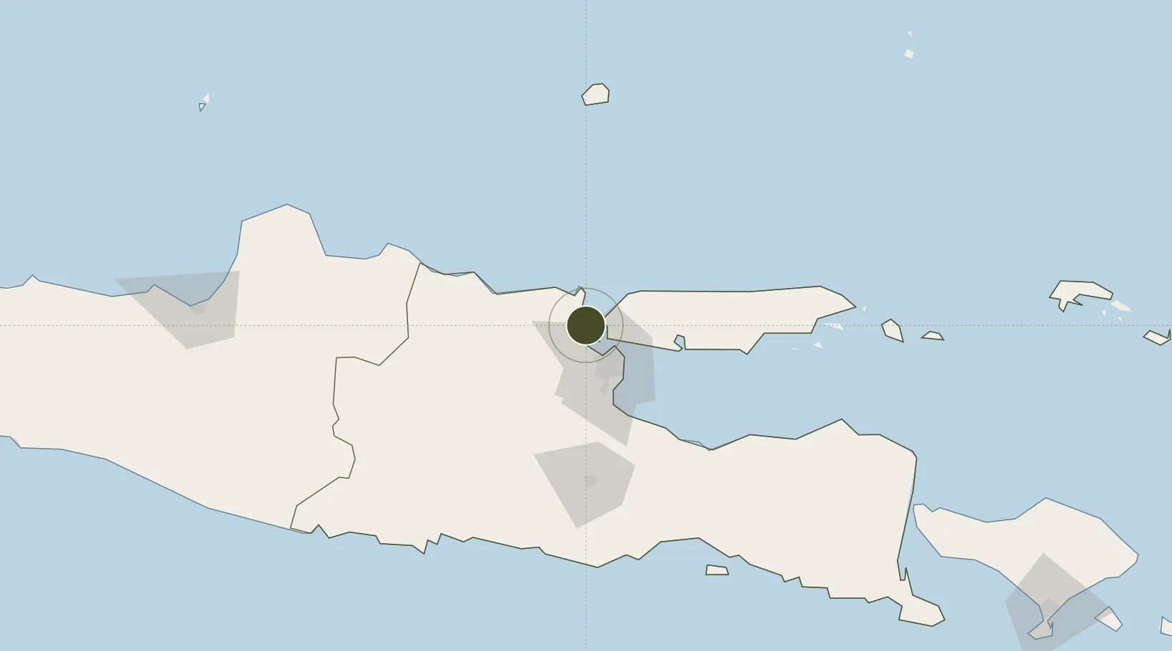
-7.0857°, 112.6068°
1,761 ha
Zone area
8.6 km
Nearest port
38.3 km
Nearest airport

Gateway access

Nearest neighbours — logibook spatial index (haversine) over the source coordinates

Zone profile

Zone type
Diversified Zone
Open Zone Map
Region
Jawa Timur
Open Zone Map
Status
Active
Open Zone Map
Management
Public-Private Partnership
Open Zone Map
Operator
PT Berkah Kawasan Manyar Sejahtera
Open Zone Map
Legal framework
The Law No 3. Article 106, issued in 2014
Open Zone Map

Location

Location of ozm-2406
Natural Earth 10m (public domain) · Jawa Timur · ozm-2406 · -7.09, 112.61GoogleOSMYandex

Nearby Logistics Neighbours

Ports
  1. 1Gresik9 km
  2. 2Surabaya19 km
  3. 3Poleng Oil Field59 km
  4. 4Tuban64 km
  5. 5Probolinggo97 km
Nearest neighbours — logibook spatial index (haversine) over the source coordinates
Airports
  1. 1Juanda International Airport38 km
  2. 2Abdul Rachman Saleh Airport95 km
  3. 3Dhoho International Airport104 km
  4. 4Notohadinegoro Airport176 km
  5. 5Adisumarmo Airport210 km
Nearest neighbours — logibook spatial index (haversine) over the source coordinates
Cities
  1. 1Manyar4 km
  2. 2Gresik, Java9 km
  3. 3Surabaya19 km
  4. 4Madura Terminal46 km
  5. 5Mojokerto47 km
Nearest neighbours — logibook spatial index (haversine) over the source coordinates
Trade Zones
  1. 1Maspion Industrial Estate5 km
  2. 2Gresik Industrial Estate8 km
  3. 3Pulahan Seruai Industrial Estate24 km
  4. 4Surabaya Industrial Estate - Rungkut32 km
  5. 5Safe N Lock Industrial Estate45 km
Nearest neighbours — logibook spatial index (haversine) over the source coordinates
DatabookThe Record of Consolidated Knowledge
Indonesia beyond logistics?
Browse databook

All Sources

Trade ZonesOpen Zone Map
CC BY
Portsthe NGA World Port Index
Public domain (US gov)
AirportsOurAirports
Public domain
LocationsUN/LOCODE
UN/LOCODE — free
← Indonesia trade zones