Large airport · Indonesia
Juanda International AirportWARR
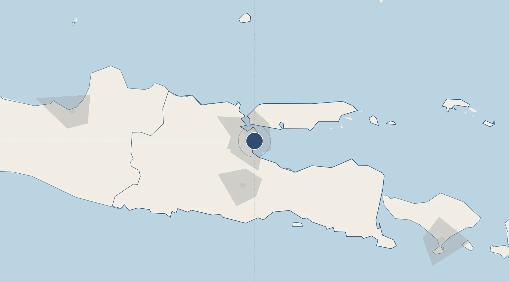
-7.3798°, 112.7870°
9,843 ft
Longest runway
1
Runways
9 ft
Elevation
Runway & Layout

Radio Frequencies
ATIS
128.2 MHz
TWR
118.1 MHz
Tower - Secondary
TWR
118.3 MHz
Tower - Primary
DIR
123.2 MHz
Surabaya Director Secondary
DIR
125.1 MHz
Surabaya Director (Primary)
SMC
119.15 MHz
Ground Control
TCA
123.55 MHz
Surabaya Control - Primary
TCA
124 MHz
Surabaya Control - Secondary
Navaids
SB NDB Surabaya 325 kHz
SBR VOR-DME Surabaya 113.40 MHz
WR NDB Surabaya 400 kHz
Runways · 1
| Runway | Dimensions | Surface | True heading | Lit |
|---|---|---|---|---|
| 10/28 | 9,843 × 148ft | Asphalt | 099° | ✓ |
Airport Specifications
IATA code
SUB
ICAO code
WARR
Airport class
Large airport
Scheduled service
Yes
Runway surface
Asphalt
Served city
Surabaya
Location
Nearby Logistics Neighbours
Airports
- 1Abdul Rachman Saleh Airport62 km
- 2Dhoho International Airport101 km
- 3Notohadinegoro Airport139 km
- 4Banyuwangi Airport200 km
- 5Lieutenant Colonel Wisnu Airfield218 km
Cities
- 1Surabaya20 km
- 2Gresik, Java30 km
- 3Mojosari30 km
- 4Pasuruan, Java31 km
- 5Manyar36 km
Ports
- 1Surabaya21 km
- 2Gresik30 km
- 3Probolinggo60 km
- 4Poleng Oil Field82 km
- 5Tuban101 km
Trade Zones
DatabookThe Record of Consolidated Knowledge
Indonesia beyond logistics?