UN/LOCODE hub · Indonesia
IDSUB
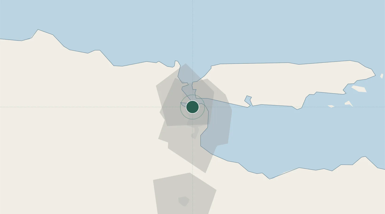
Surabaya
-7.2275°, 112.6981°
2,874,314
Population
6
Transport functions
4
Container terminals
Transport Functions
Port
Rail
Road
Airport
Multimodal
Postal
Hub Profile
Place type
Regional capital
Region
East Java
Population
2,874,314
Time zone
Asia/Jakarta
Elevation
8 m
Logistics facilities
69
Container terminals
4
Location
Nearby Logistics Neighbours
Cities
- 1Gresik, Java10 km
- 2Manyar16 km
- 3Mojosari36 km
- 4Mojokerto40 km
- 5Pasuruan, Java50 km
Ports
- 1Gresik10 km
- 2Poleng Oil Field69 km
- 3Probolinggo79 km
- 4Tuban82 km
- 5Panarukan146 km
Airports
- 1Juanda International Airport20 km
- 2Abdul Rachman Saleh Airport78 km
- 3Dhoho International Airport101 km
- 4Notohadinegoro Airport157 km
- 5Adisumarmo Airport216 km
Trade Zones
DatabookThe Record of Consolidated Knowledge
Indonesia beyond logistics?