Industrial Estate · Indonesia

Surabaya Industrial Estate - Rungkut Active
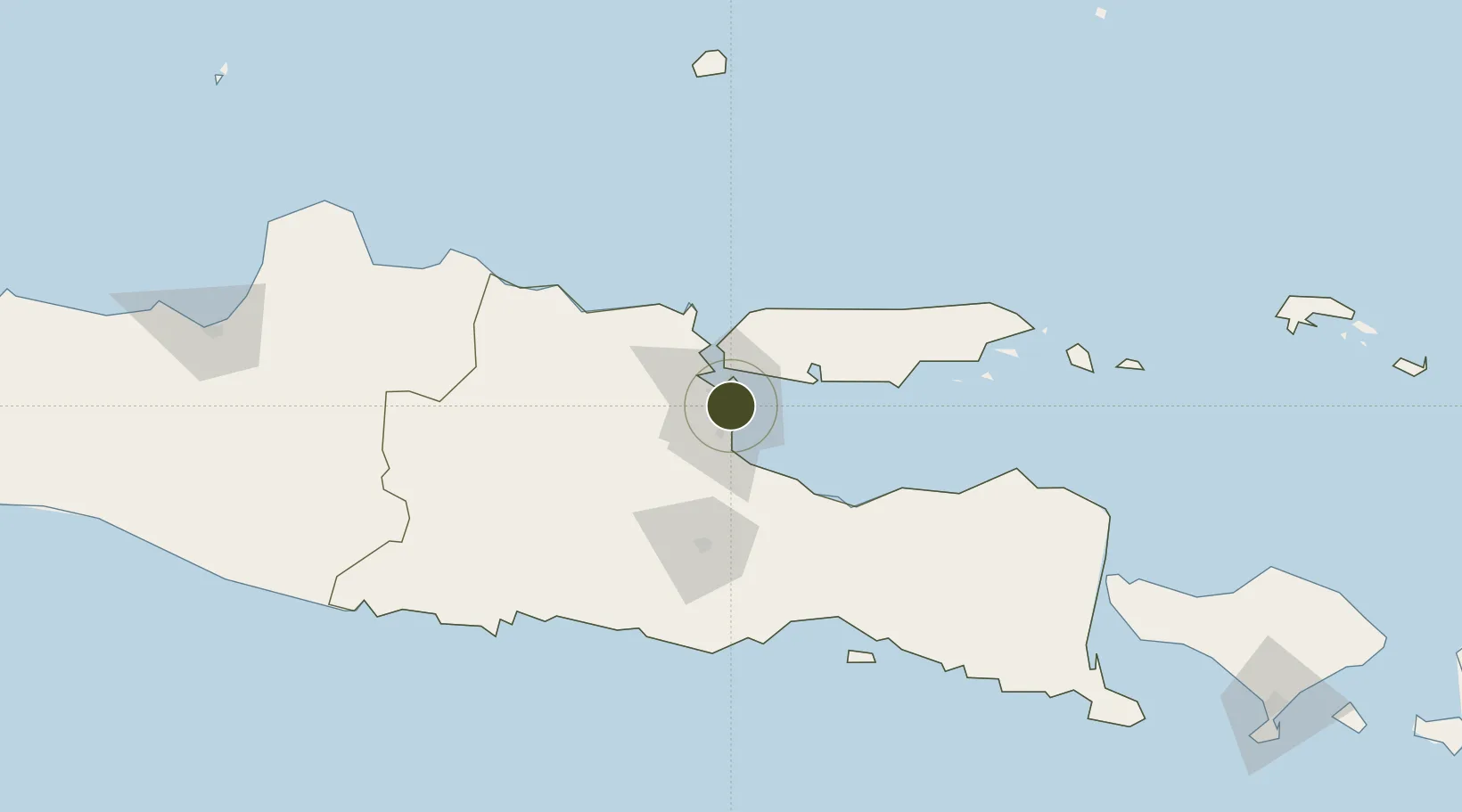
-7.3308°, 112.7575°
332 ha
Zone area
14.8 km
Nearest port
6.3 km
Nearest airport

Gateway access

Nearest neighbours — logibook spatial index (haversine) over the source coordinates

Zone profile

Zone type
Industrial Estate
the World Bank SEZ database
Region
Jawa Timur
the World Bank SEZ database
Status
Active
the World Bank SEZ database
Established
1974
the World Bank SEZ database
Management
State-owned enterprise
the World Bank SEZ database
Operator
PT SIER
the World Bank SEZ database
Regulatory authority
Industrial Estate Authority of Indonesia*
the World Bank SEZ database
Legal framework
Government Regulation No 142/2015
the World Bank SEZ database

Location

Location of IDN12
Natural Earth 10m (public domain) · Jawa Timur · IDN12 · -7.33, 112.76GoogleOSMYandex

Fiscal & incentives

Corporate tax
25%
the World Bank SEZ database
Tax relief
Under review
the World Bank SEZ database
Relief duration
Under review
the World Bank SEZ database
VAT
Under review
the World Bank SEZ database
Import duty (inputs)
Under review
the World Bank SEZ database
Import duty (capex)
Under review
the World Bank SEZ database
Profit repatriation
Under review
the World Bank SEZ database
Capital gains
Under review
the World Bank SEZ database
Withholding tax
Under review
the World Bank SEZ database
Min. investment
None
the World Bank SEZ database
Min. export
0%
the World Bank SEZ database
Employment incentive
Under review
the World Bank SEZ database
Developer incentive
No established framework
the World Bank SEZ database

Nearby Logistics Neighbours

Ports
  1. 1Surabaya15 km
  2. 2Gresik23 km
  3. 3Probolinggo66 km
  4. 4Poleng Oil Field78 km
  5. 5Tuban94 km
Nearest neighbours — logibook spatial index (haversine) over the source coordinates
Airports
  1. 1Juanda International Airport6 km
  2. 2Abdul Rachman Saleh Airport67 km
  3. 3Dhoho International Airport101 km
  4. 4Notohadinegoro Airport145 km
  5. 5Banyuwangi Airport206 km
Nearest neighbours — logibook spatial index (haversine) over the source coordinates
Cities
  1. 1Surabaya13 km
  2. 2Gresik, Java23 km
  3. 3Manyar30 km
  4. 4Mojosari31 km
  5. 5Pasuruan, Java37 km
Nearest neighbours — logibook spatial index (haversine) over the source coordinates
Trade Zones
  1. 1Pulahan Seruai Industrial Estate8 km
  2. 2Safe N Lock Industrial Estate15 km
  3. 3Gresik Industrial Estate24 km
  4. 4Maspion Industrial Estate28 km
  5. 5Ngoro Industrial Park30 km
Nearest neighbours — logibook spatial index (haversine) over the source coordinates
DatabookThe Record of Consolidated Knowledge
Indonesia beyond logistics?
Browse databook

All Sources

Trade Zonesthe World Bank SEZ database
CC BY 4.0
Portsthe NGA World Port Index
Public domain (US gov)
AirportsOurAirports
Public domain
LocationsUN/LOCODE
UN/LOCODE — free
← Indonesia trade zones