Channel & Berth Profile
Pilotage, Tugs & Services
Pilotage compulsoryYES
Pilotage availableYES
Pilotage advisableYES
Local assistanceYES
Tug assistanceYES
Potable waterYES
MedicalYES
Garbage disposalYES
Facilities & Capabilities
Container—
Ro-Ro—
Liquid bulk—
Dry bulk—
Oil terminal—
Break bulk—
Dry dock—
RepairsNO
BunkeringNO
Rail linkYES
Dangerous cargo—
ISPS security—
Harbour Specifications
Harbour size
Small
Harbour type
Open Roadstead
Shelter
Good
Water body
Bali Sea; Java Sea; South Pacific Ocean
Pilotage
Yes
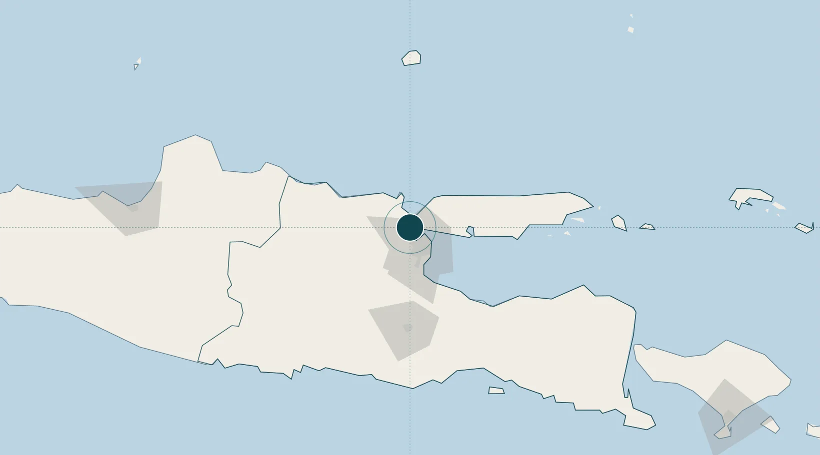
Location
Nearby Logistics Neighbours
Ports
- 1Surabaya11 km
- 2Poleng Oil Field63 km
- 3Tuban72 km
- 4Probolinggo89 km
- 5Rembang152 km
Cities
- 1Manyar7 km
- 2Surabaya10 km
- 3Mojosari42 km
- 4Mojokerto43 km
- 5Madura Terminal47 km
Airports
- 1Juanda International Airport30 km
- 2Abdul Rachman Saleh Airport87 km
- 3Dhoho International Airport102 km
- 4Notohadinegoro Airport167 km
- 5Adisumarmo Airport213 km
Trade Zones
DatabookThe Record of Consolidated Knowledge
Indonesia beyond logistics?