Transport Functions
Road
Multimodal
Hub Profile
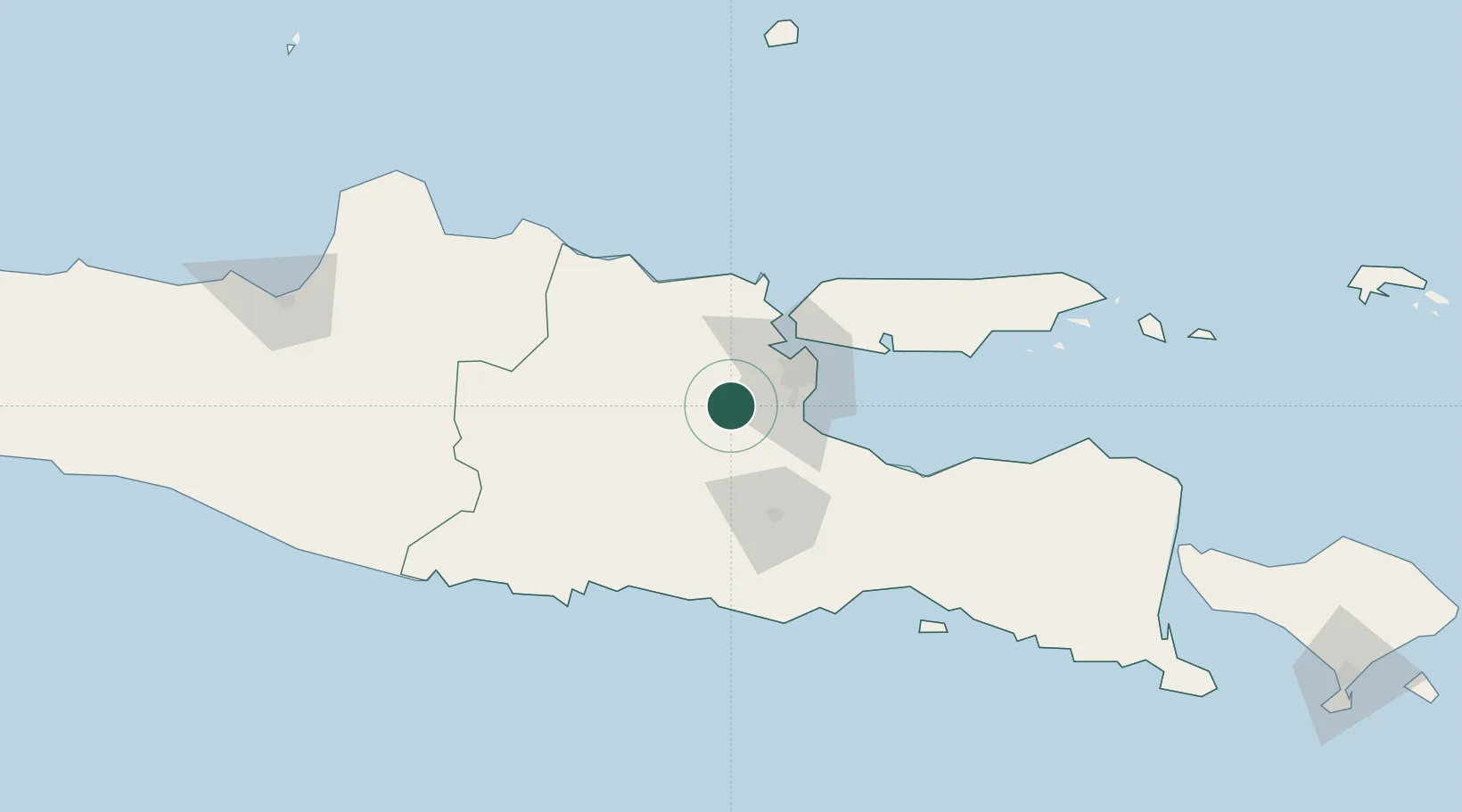
Place type
Populated place
Region
East Java
Population
141,785
Time zone
Asia/Jakarta
Elevation
25 m
Location
Nearby Logistics Neighbours
Cities
- 1Mojosari14 km
- 2Jombang24 km
- 3Jawa Timur31 km
- 4Surabaya40 km
- 5Gresik, Java43 km
Ports
- 1Gresik43 km
- 2Surabaya44 km
- 3Tuban87 km
- 4Probolinggo91 km
- 5Poleng Oil Field105 km
Airports
- 1Juanda International Airport40 km
- 2Abdul Rachman Saleh Airport60 km
- 3Dhoho International Airport62 km
- 4Notohadinegoro Airport163 km
- 5Adisumarmo Airport185 km
Trade Zones
DatabookThe Record of Consolidated Knowledge
Indonesia beyond logistics?