Channel & Berth Profile
Pilotage, Tugs & Services
Pilotage compulsoryNO
Pilotage availableYES
Pilotage advisableNO
Tug assistanceYES
Potable waterYES
MedicalYES
Facilities & Capabilities
Container—
Ro-Ro—
Liquid bulk—
Dry bulk—
Oil terminal—
Break bulk—
Dry dock—
RepairsNO
BunkeringYES
Rail linkYES
Dangerous cargo—
ISPS security—
Harbour Specifications
Harbour size
Very Small
Harbour type
Open Roadstead
Shelter
Good
Water body
Bali Sea; Java Sea; South Pacific Ocean
Pilotage
No
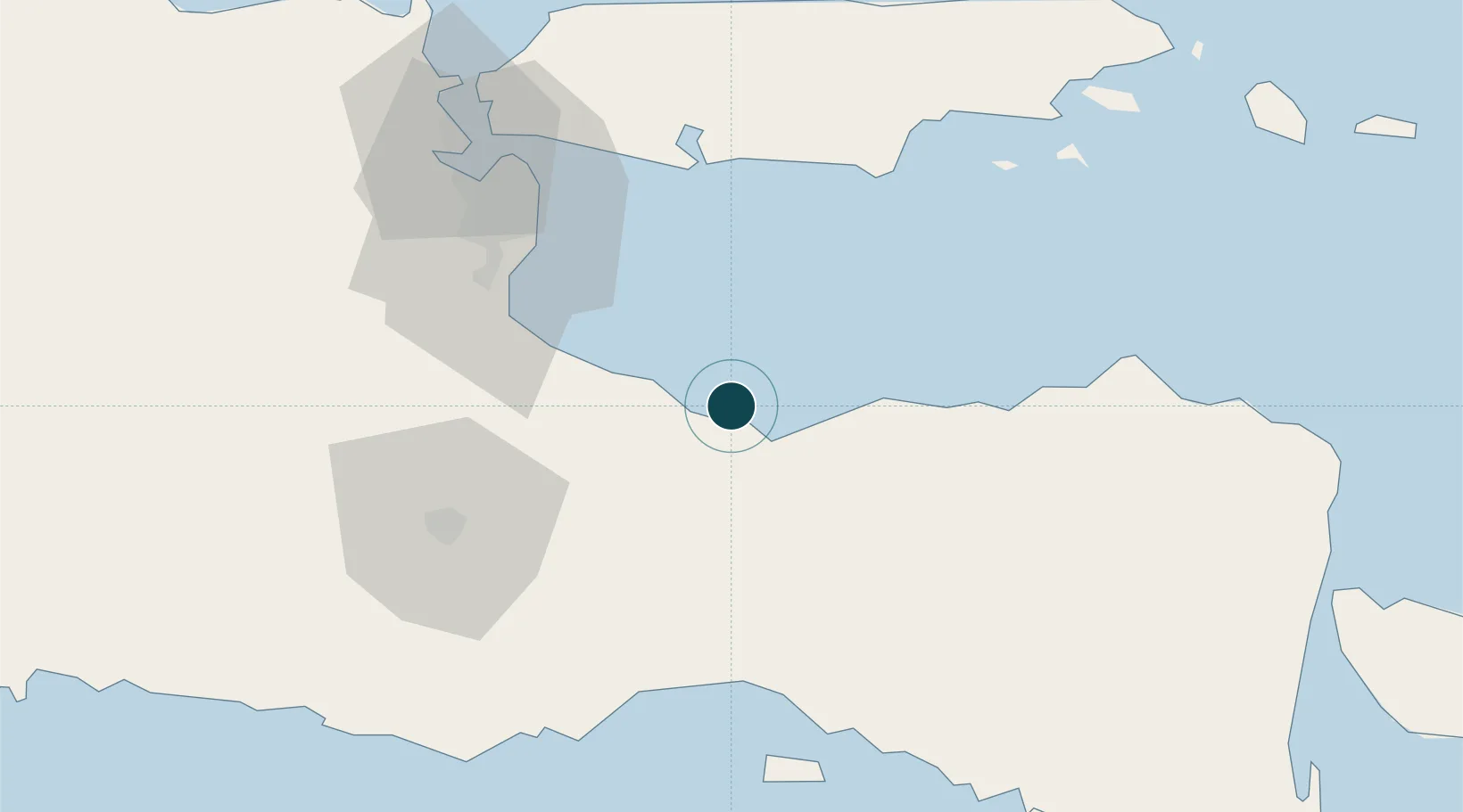
Location
Nearby Logistics Neighbours
Ports
- 1Surabaya78 km
- 2Panarukan79 km
- 3Gresik89 km
- 4Poleng Oil Field123 km
- 5Tuban161 km
Cities
- 1Pasuruan, Java36 km
- 2Purwosari54 km
- 3Kalbut Situbondo74 km
- 4Mojosari77 km
- 5Surabaya79 km
Airports
- 1Abdul Rachman Saleh Airport60 km
- 2Juanda International Airport60 km
- 3Notohadinegoro Airport79 km
- 4Dhoho International Airport140 km
- 5Banyuwangi Airport140 km
Trade Zones
DatabookThe Record of Consolidated Knowledge
Indonesia beyond logistics?