Small airport · Indonesia

Banyuwangi AirportWADY
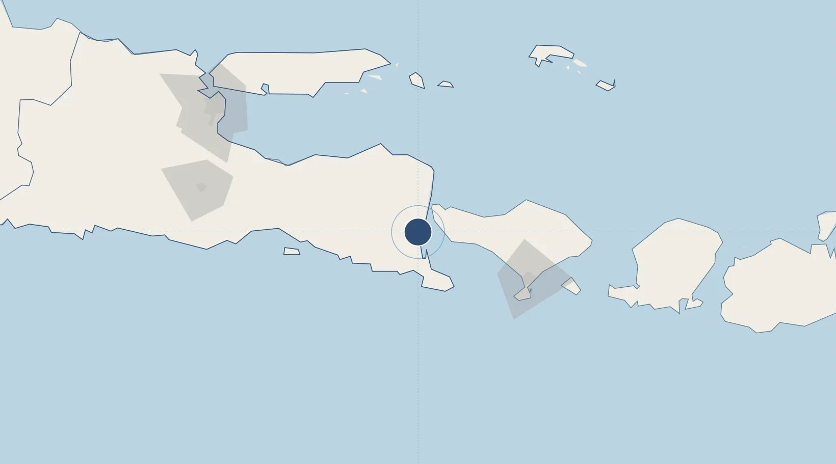
-8.3102°, 114.3401°
4,593 ft
Longest runway
1
Runways
112 ft
Elevation

Runway & Layout

Banyuwangi Airport runway & taxiway layout
Runway & taxiway layout — OpenStreetMap (ODbL) / OurAirports

Runways · 1

RunwayDimensions SurfaceTrue headingLit
08/26 4,593 × 98ft Asphalt 081°
OurAirports

Airport Specifications

IATA code
BWX
OurAirports
ICAO code
WADY
OurAirports
Airport class
Small airport
OurAirports
Scheduled service
Yes
OurAirports
Runway surface
Asphalt
OurAirports
Served city
Rogojampi, Banyuwangi
OurAirports

Location

Location of WADY
Natural Earth 10m (public domain) · Jawa Timur · WADY · -8.31, 114.34GoogleOSMYandex

Nearby Logistics Neighbours

Airports
  1. 1Lieutenant Colonel Wisnu Airfield36 km
  2. 2Notohadinegoro Airport72 km
  3. 3Discovery Kartika Plaza Heliport102 km
  4. 4Denpasar I Gusti Ngurah Rai International Airport103 km
  5. 5Abdul Rachman Saleh Airport184 km
Nearest neighbours — logibook spatial index (haversine) over the source coordinates
Cities
  1. 1Banyuwangi12 km
  2. 2Jembrana35 km
  3. 3Kalbut Situbondo92 km
  4. 4Gatot Subroto Permai101 km
  5. 5Kuta103 km
Nearest neighbours — logibook spatial index (haversine) over the source coordinates
Ports
  1. 1Celukan Bawang56 km
  2. 2Panarukan81 km
  3. 3Benoa108 km
  4. 4Probolinggo140 km
  5. 5Ampenan192 km
Nearest neighbours — logibook spatial index (haversine) over the source coordinates
Trade Zones
  1. 1Pasuruan Industrial Estate Rembang184 km
  2. 2KEK Singhasari193 km
  3. 3Safe N Lock Industrial Estate199 km
  4. 4Surabaya Industrial Estate - Rungkut206 km
  5. 5Ngoro Industrial Park208 km
Nearest neighbours — logibook spatial index (haversine) over the source coordinates
DatabookThe Record of Consolidated Knowledge
Indonesia beyond logistics?
Browse databook

All Sources

AirportsOurAirports
Public domain
Portsthe NGA World Port Index
Public domain (US gov)
LocationsUN/LOCODE
UN/LOCODE — free
Trade Zonesthe World Bank SEZ database
CC BY 4.0
Trade ZonesOpen Zone Map
CC BY
InfrastructureOpenStreetMap
ODbL 1.0
← Indonesia airports