Channel & Berth Profile
Pilotage, Tugs & Services
Pilotage compulsoryYES
Pilotage availableYES
Potable waterYES
MedicalYES
Garbage disposalNO
Facilities & Capabilities
Container—
Ro-Ro—
Liquid bulk—
Dry bulk—
Oil terminal—
Break bulk—
Dry dock—
Repairs—
BunkeringNO
Rail link—
Dangerous cargo—
ISPS security—
Harbour Specifications
Harbour size
Very Small
Harbour type
Open Roadstead
Shelter
Poor
Water body
Java Sea; South Pacific Ocean
Tidal range
4 m
Pilotage
Yes
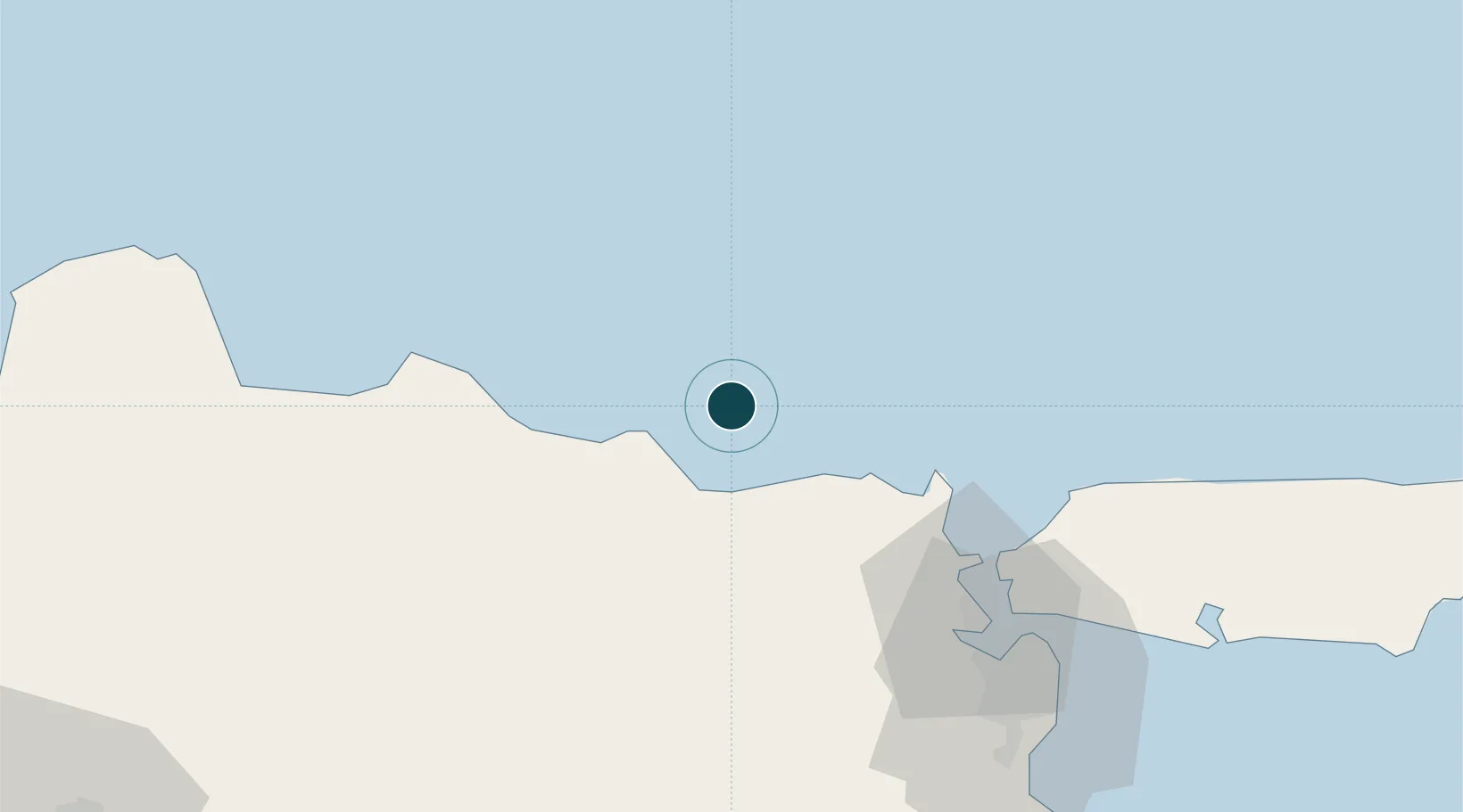
Location
Nearby Logistics Neighbours
Ports
- 1Gresik72 km
- 2Surabaya83 km
- 3Poleng Oil Field85 km
- 4Rembang88 km
- 5Probolinggo161 km
Cities
- 1Manyar66 km
- 2Gresik, Java72 km
- 3Cepu78 km
- 4Surabaya82 km
- 5Mojokerto87 km
Airports
- 1Juanda International Airport101 km
- 2Dhoho International Airport115 km
- 3Abdul Rachman Saleh Airport147 km
- 4Adisumarmo Airport177 km
- 5Jenderal Ahmad Yani Airport198 km
Trade Zones
DatabookThe Record of Consolidated Knowledge
Indonesia beyond logistics?