Large airport · Indonesia
Dhoho International AirportID-0277
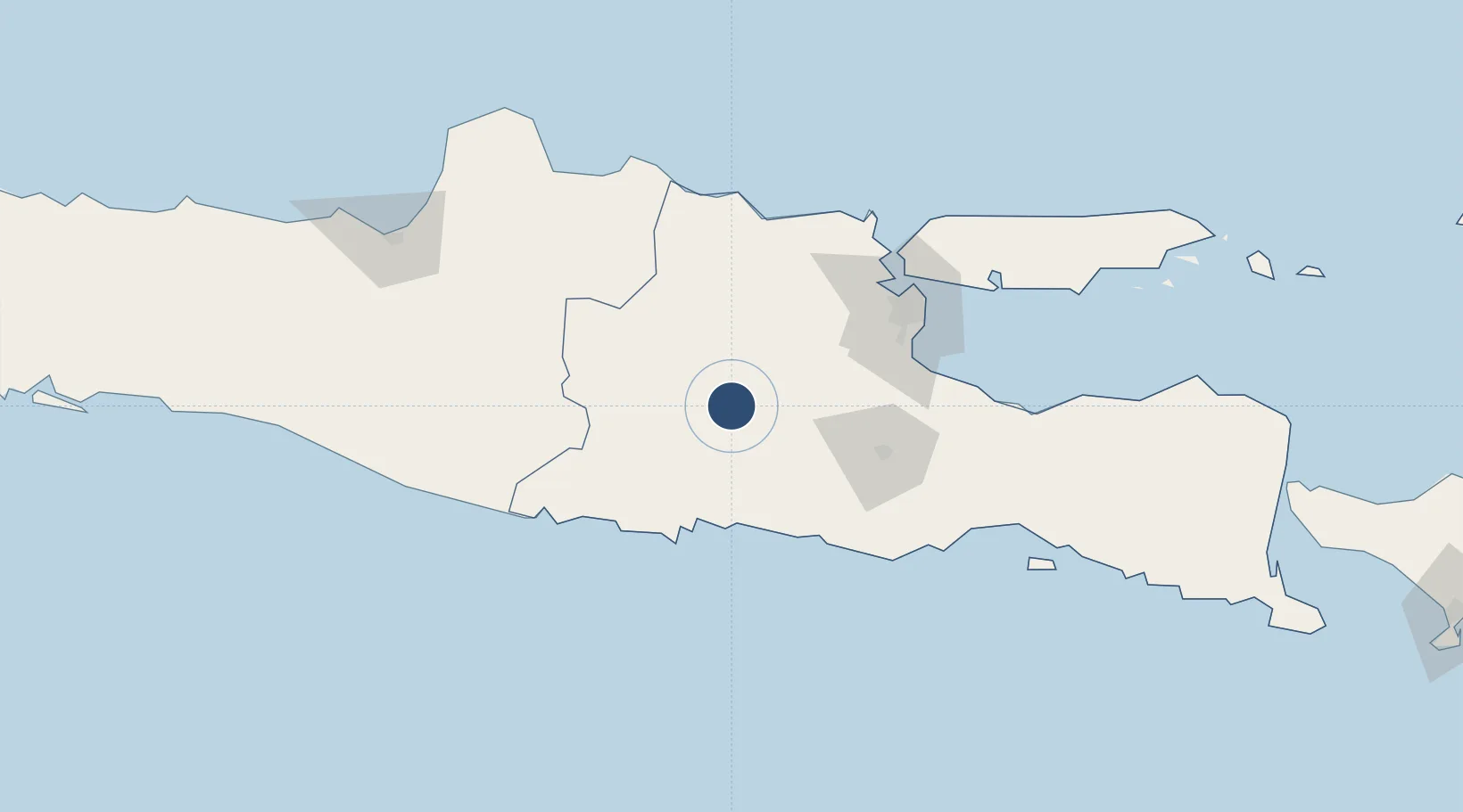
-7.7503°, 111.9472°
10,827 ft
Longest runway
1
Runways
380 ft
Elevation
Runway & Layout

Runways · 1
| Runway | Dimensions | Surface | True heading | Lit |
|---|---|---|---|---|
| 14/32 | 10,827 × 148ft | Asphalt | 145° | ✓ |
Airport Specifications
IATA code
DHX
ICAO code
WARD
Airport class
Large airport
Scheduled service
No
Runway surface
Asphalt
Served city
Kediri
Location
Nearby Logistics Neighbours
Airports
- 1Abdul Rachman Saleh Airport87 km
- 2Juanda International Airport101 km
- 3Adisumarmo Airport134 km
- 4Adisutjipto International Airport167 km
- 5Jenderal Ahmad Yani Airport194 km
Cities
- 1Jombang39 km
- 2Jawa Timur61 km
- 3Mojokerto62 km
- 4Mojosari71 km
- 5Kendal78 km
Ports
- 1Gresik102 km
- 2Surabaya106 km
- 3Tuban115 km
- 4Rembang134 km
- 5Probolinggo140 km
Trade Zones
- 1Ngoro Industrial Park76 km
- 2KEK Singhasari78 km
- 3Safe N Lock Industrial Estate94 km
- 4Pasuruan Industrial Estate Rembang98 km
- 5Gresik Industrial Estate100 km
DatabookThe Record of Consolidated Knowledge
Indonesia beyond logistics?