Transport Functions
Port
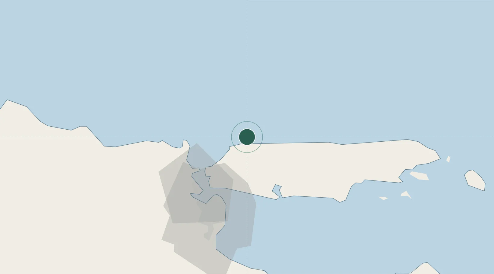
Location
Nearby Logistics Neighbours
Cities
- 1Gresik, Java47 km
- 2Manyar49 km
- 3Surabaya50 km
- 4Mojosari86 km
- 5Pasuruan, Java87 km
Ports
- 1Poleng Oil Field23 km
- 2Surabaya46 km
- 3Gresik47 km
- 4Tuban89 km
- 5Probolinggo101 km
Airports
- 1Juanda International Airport62 km
- 2Abdul Rachman Saleh Airport123 km
- 3Dhoho International Airport149 km
- 4Notohadinegoro Airport175 km
- 5Banyuwangi Airport223 km
Trade Zones
DatabookThe Record of Consolidated Knowledge
Indonesia beyond logistics?