Medium airport · Indonesia

Abdul Rachman Saleh AirportWARA
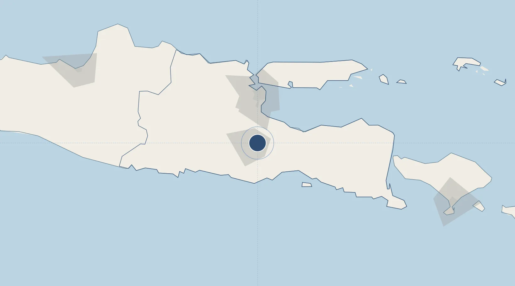
-7.9291°, 112.7142°
8,202 ft
Longest runway
2
Runways
1,726 ft
Elevation

Runway & Layout

Abdul Rachman Saleh Airport runway & taxiway layout
Runway & taxiway layout — OpenStreetMap (ODbL) / OurAirports

Radio Frequencies

TWR
122.5 MHz
APP
119.1 MHz
SURABAYA APP
OurAirports

Navaids

LW NDB Lawang 290 kHz
ML NDB Malang 342 kHz
OurAirports

Runways · 2

RunwayDimensions SurfaceTrue headingLit
17/35 8,202 × 131ft Asphalt 166°
17L/35R 4,921 × 98ft Asphalt 166°
OurAirports

Airport Specifications

IATA code
MLG
OurAirports
ICAO code
WARA
OurAirports
Airport class
Medium airport
OurAirports
Scheduled service
Yes
OurAirports
Runway surface
Asphalt
OurAirports
Served city
Malang
OurAirports

Location

Location of WARA
Natural Earth 10m (public domain) · Jawa Timur · WARA · -7.93, 112.71GoogleOSMYandex

Nearby Logistics Neighbours

Airports
  1. 1Juanda International Airport62 km
  2. 2Dhoho International Airport87 km
  3. 3Notohadinegoro Airport113 km
  4. 4Banyuwangi Airport184 km
  5. 5Lieutenant Colonel Wisnu Airfield211 km
Nearest neighbours — logibook spatial index (haversine) over the source coordinates
Cities
  1. 1Purwosari18 km
  2. 2Jawa Timur32 km
  3. 3Pasuruan, Java39 km
  4. 4Mojosari49 km
  5. 5Mojokerto60 km
Nearest neighbours — logibook spatial index (haversine) over the source coordinates
Ports
  1. 1Probolinggo60 km
  2. 2Surabaya81 km
  3. 3Gresik87 km
  4. 4Panarukan137 km
  5. 5Poleng Oil Field144 km
Nearest neighbours — logibook spatial index (haversine) over the source coordinates
Trade Zones
  1. 1KEK Singhasari10 km
  2. 2Pasuruan Industrial Estate Rembang38 km
  3. 3Ngoro Industrial Park42 km
  4. 4Safe N Lock Industrial Estate52 km
  5. 5Surabaya Industrial Estate - Rungkut67 km
Nearest neighbours — logibook spatial index (haversine) over the source coordinates
DatabookThe Record of Consolidated Knowledge
Indonesia beyond logistics?
Browse databook

All Sources

AirportsOurAirports
Public domain
Portsthe NGA World Port Index
Public domain (US gov)
LocationsUN/LOCODE
UN/LOCODE — free
Trade Zonesthe World Bank SEZ database
CC BY 4.0
Trade ZonesOpen Zone Map
CC BY
InfrastructureOpenStreetMap
ODbL 1.0
← Indonesia airports