Channel & Berth Profile
Pilotage, Tugs & Services
Pilotage availableYES
Potable waterNO
Facilities & Capabilities
Container—
Ro-Ro—
Liquid bulk—
Dry bulk—
Oil terminal—
Break bulk—
Dry dock—
Repairs—
BunkeringNO
Rail link—
Dangerous cargo—
ISPS security—
Harbour Specifications
Harbour size
Very Small
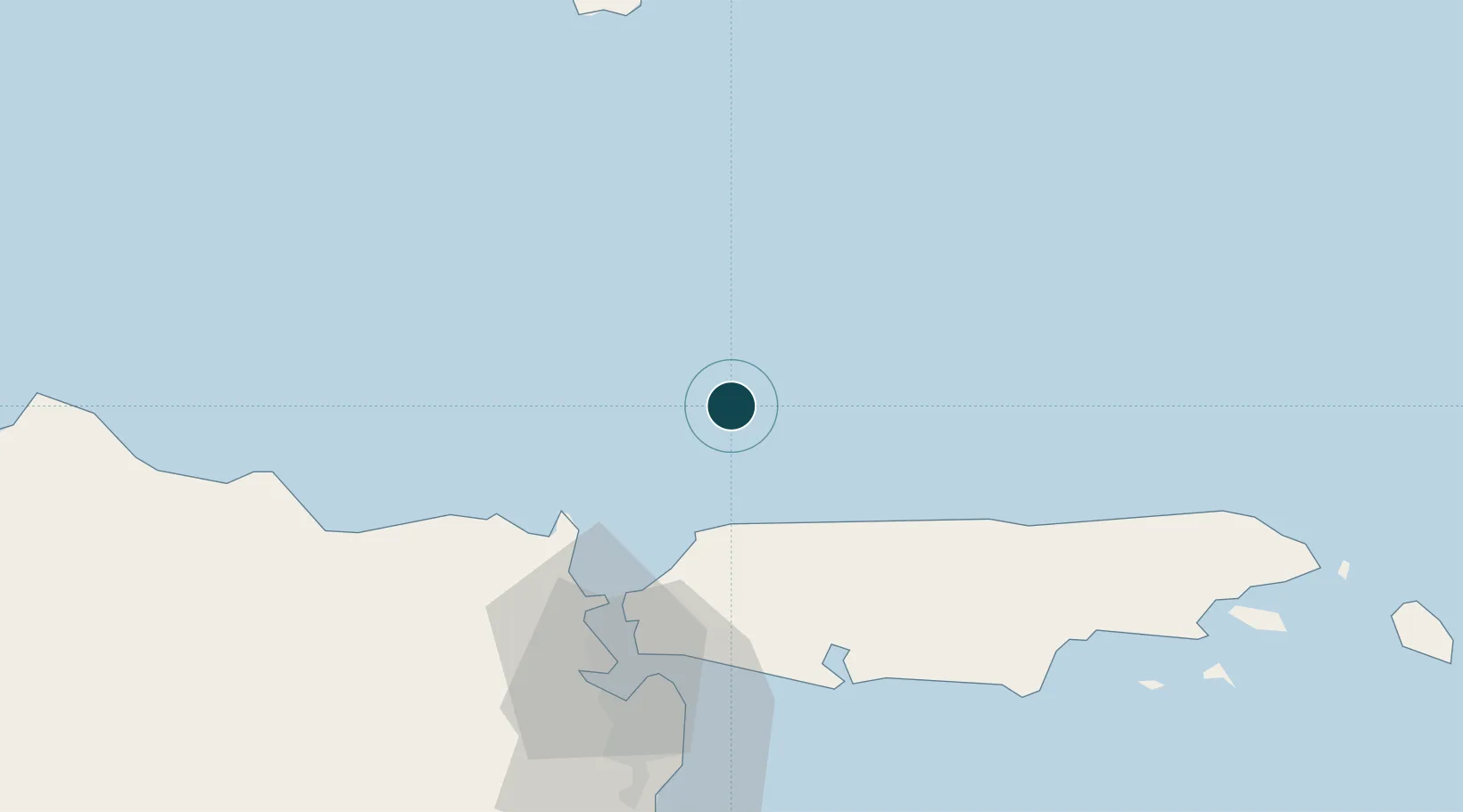
Harbour type
Open Roadstead
Shelter
Poor
Water body
Java Sea; South Pacific Ocean
Location
Nearby Logistics Neighbours
Ports
- 1Gresik63 km
- 2Surabaya64 km
- 3Tuban85 km
- 4Probolinggo123 km
- 5Panarukan162 km
Cities
- 1Madura Terminal23 km
- 2Manyar63 km
- 3Gresik, Java63 km
- 4Surabaya69 km
- 5Mojosari105 km
Airports
- 1Juanda International Airport82 km
- 2Abdul Rachman Saleh Airport144 km
- 3Dhoho International Airport163 km
- 4Notohadinegoro Airport197 km
- 5Banyuwangi Airport242 km
Trade Zones
DatabookThe Record of Consolidated Knowledge
Indonesia beyond logistics?