Transport Functions
Port
Road
Airport
Hub Profile
Place type
National capital
Region
Dili Municipality
Population
150,000
Time zone
Asia/Dili
Elevation
3 m
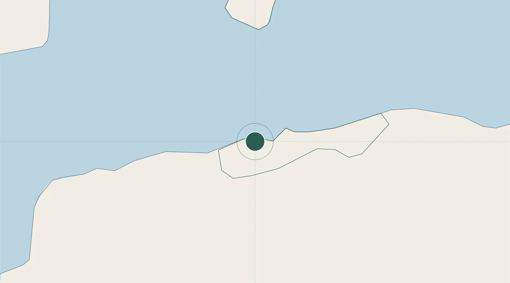
Location
Nearby Logistics Neighbours
Cities
- 1Kalabahi121 km
- 2Kupang, Timor289 km
- 3Challis Venture (oil Terminal)401 km
- 4Montara Field530 km
- 5Reo558 km
Airports
DatabookThe Record of Consolidated Knowledge
Timor-Leste beyond logistics?