Small airport · Indonesia

Alor Island - Mali AirportWATM
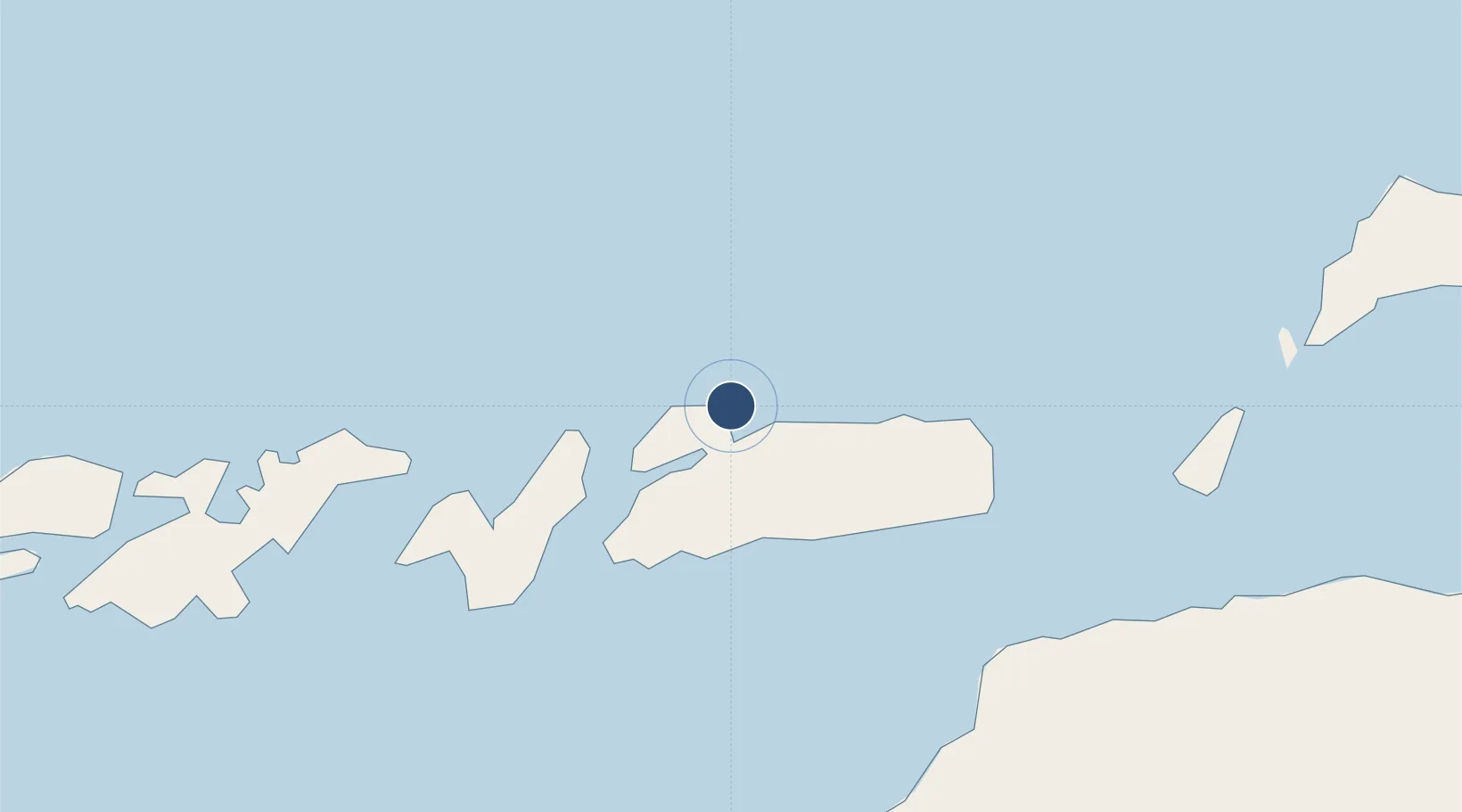
-8.1323°, 124.5970°
4,586 ft
Longest runway
1
Runways
10 ft
Elevation

Runway & Layout

Alor Island - Mali Airport runway & taxiway layout
Runway & taxiway layout — OpenStreetMap (ODbL) / OurAirports

Radio Frequencies

INFO
449.5 MHz
OurAirports

Navaids

MI NDB Mali 320 kHz
OurAirports

Runways · 1

RunwayDimensions SurfaceTrue headingLit
03/21 4,586 × 90ft Asphalt 033°
OurAirports

Airport Specifications

IATA code
ARD
OurAirports
ICAO code
WATM
OurAirports
Airport class
Small airport
OurAirports
Scheduled service
Yes
OurAirports
Runway surface
Asphalt
OurAirports
Served city
Kabola
OurAirports

Location

Location of WATM
Natural Earth 10m (public domain) · Nusa Tenggara Timur · WATM · -8.13, 124.60GoogleOSMYandex

Nearby Logistics Neighbours

Cities
  1. 1Kalabahi13 km
  2. 2Dili116 km
  3. 3Kupang, Timor258 km
  4. 4Challis Venture (oil Terminal)445 km
  5. 5Reo451 km
Nearest neighbours — logibook spatial index (haversine) over the source coordinates
Ports
  1. 1Dili117 km
  2. 2Larantuka179 km
  3. 3Kupang252 km
  4. 4Maumere267 km
  5. 5Ende333 km
Nearest neighbours — logibook spatial index (haversine) over the source coordinates
Trade Zones
  1. 1Atauro Special Economic Zone112 km
  2. 2Oecusse Ambeno Enclave Special Zone For Social Market Economy (Zeesm)138 km
  3. 3Bantaeng Industrial Park (BIP)590 km
  4. 4Terpadu Takalar Industrial Estate644 km
  5. 5Morowali Industrial Park649 km
Nearest neighbours — logibook spatial index (haversine) over the source coordinates
DatabookThe Record of Consolidated Knowledge
Indonesia beyond logistics?
Browse databook

All Sources

AirportsOurAirports
Public domain
Portsthe NGA World Port Index
Public domain (US gov)
LocationsUN/LOCODE
UN/LOCODE — free
Trade Zonesthe World Bank SEZ database
CC BY 4.0
Trade ZonesOpen Zone Map
CC BY
InfrastructureOpenStreetMap
ODbL 1.0
← Indonesia airports