Seaport · Timor-Leste
DiliTLDIL
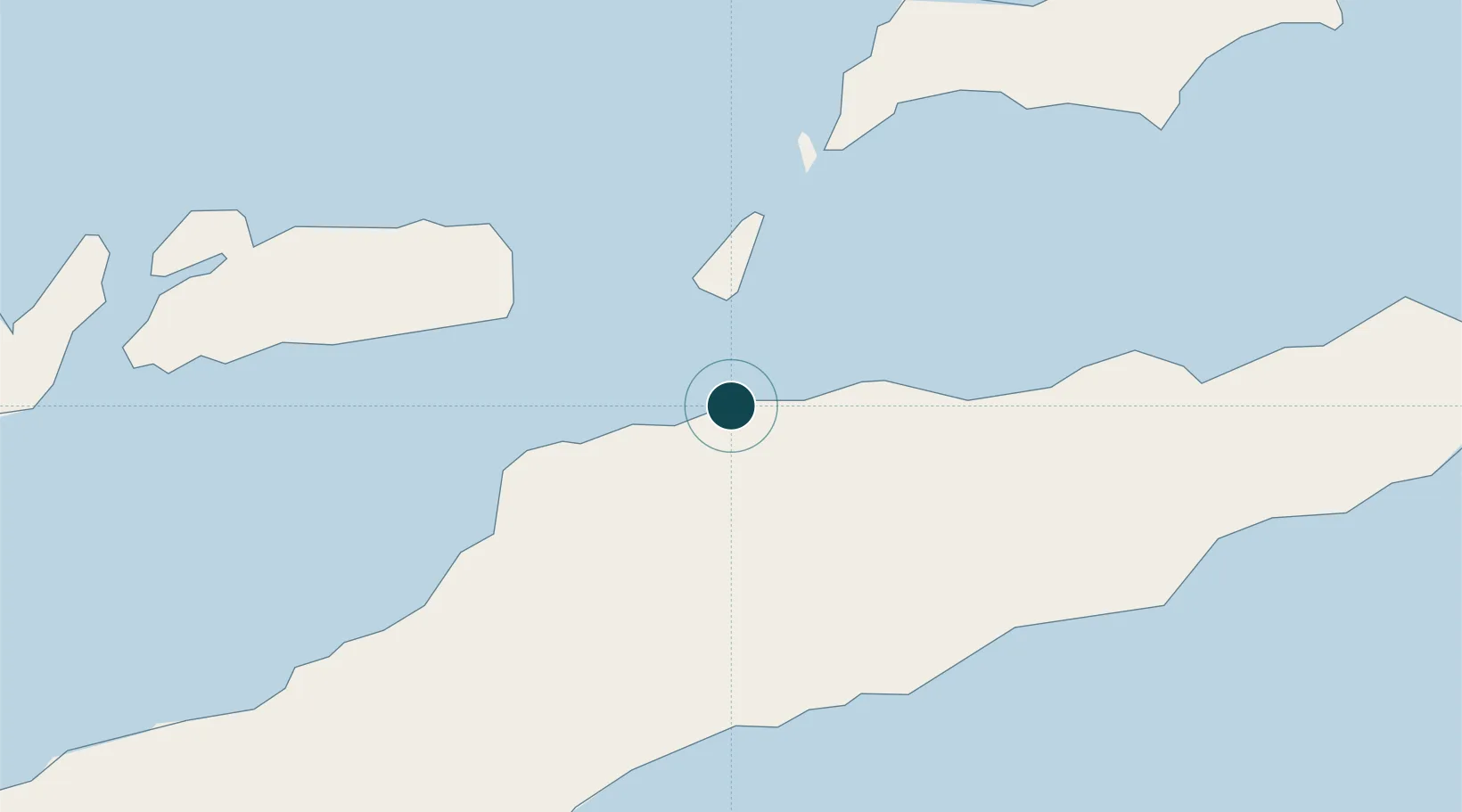
-8.5333°, 125.5833°
23.2 m
Channel depth
1
Container terminals
28.3
Port liner connectivity
Channel & Berth Profile
Pilotage, Tugs & Services
Pilotage compulsoryNO
Pilotage availableNO
Pilotage advisableYES
Tug assistanceNO
Salvage tugsNO
Potable waterYES
MedicalYES
Garbage disposalYES
Facilities & Capabilities
Container—
Ro-Ro—
Liquid bulk—
Dry bulk—
Oil terminal—
Break bulk—
Dry dock—
Repairs—
BunkeringYES
Rail link—
Dangerous cargo—
ISPS security—
Harbour Specifications
Harbour size
Small
Harbour type
Coastal (Natural)
Shelter
Good
Water body
Banda Sea; South Pacific Ocean
Tidal range
5 m
Pilotage
No
Liner Connectivity
28.3
PLSCI
Port Liner Shipping Connectivity Index for Dili, as published by UNCTAD for the latest available quarter. Higher values indicate stronger scheduled liner-shipping integration.
Shown relative to the highest per-port PLSCI in the dataset (1,657.9).
Location
Container Terminals · 1
TIBAR BAY CONTAINER TERMINAL
TBCT TIMOR PORT SA
Nearby Logistics Neighbours
Cities
- 1Kalabahi123 km
- 2Kupang, Timor292 km
- 3Challis Venture (oil Terminal)403 km
- 4Montara Field532 km
- 5Wamsasi556 km
Airports
DatabookThe Record of Consolidated Knowledge
Timor-Leste beyond logistics?