Seaport · Indonesia
BelawanIDBLW
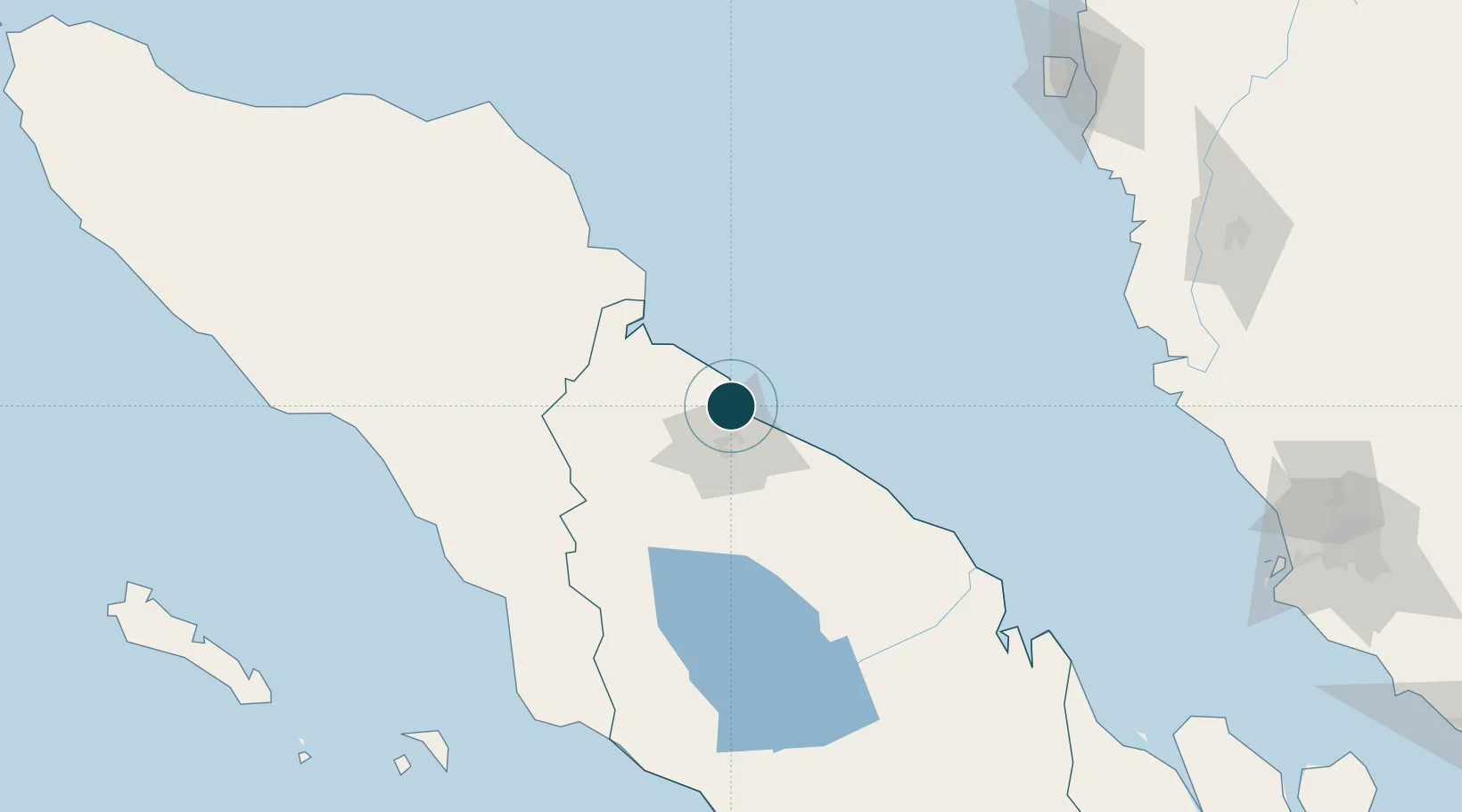
3.7833°, 98.6833°
7.9 m
Channel depth
2
Container terminals
123.3
Port liner connectivity
Channel & Berth Profile
Pilotage, Tugs & Services
Pilotage compulsoryYES
Pilotage availableYES
Pilotage advisableYES
Tug assistanceYES
Shore powerYES
Potable waterYES
Diesel bunkersYES
MedicalYES
Facilities & Capabilities
Container—
Ro-Ro—
Liquid bulk—
Dry bulk—
Oil terminal—
Break bulk—
Dry dockNO
RepairsNO
BunkeringYES
Rail linkYES
Dangerous cargo—
ISPS security—
Harbour Specifications
Harbour size
Medium
Harbour type
River (Natural)
Shelter
Good
Water body
Strait of Malacca; Indian Ocean
Tidal range
2 m
Overhead limit
No
Pilotage
Yes
Liner Connectivity
123.3
PLSCI
Port Liner Shipping Connectivity Index for Belawan, as published by UNCTAD for the latest available quarter. Higher values indicate stronger scheduled liner-shipping integration.
Shown relative to the highest per-port PLSCI in the dataset (1,657.9).
Location
Container Terminals · 2
BELAWAN NEW CONTAINER TERMINAL (BNCT) TERMINAL A
BNCTA PT BELAWAN NEW CONTAINER TERMINAL / DP WORLD
BELAWAN NEW CONTAINER TERMINAL (BNCT) TERMINAL B
BNCTB PT BELAWAN NEW CONTAINER TERMINAL / DP WORLD
Nearby Logistics Neighbours
Ports
- 1Pangkalansusu64 km
- 2Kuala Tanjung100 km
- 3Lumut222 km
- 4Sibolga228 km
- 5Lhokseumawe238 km
Cities
- 1Medan, Sumatra10 km
- 2Kualatanjung98 km
- 3Kualalangsa112 km
- 4Pulau Jarak157 km
- 5Manjung218 km
Airports
- 1Soewondo Air Force Base25 km
- 2Kualanamu International Airport26 km
- 3Alas Leuser Airport101 km
- 4Silangit Airport173 km
- 5Syekh Hamzah Fansyuri Airport186 km
DatabookThe Record of Consolidated Knowledge
Indonesia beyond logistics?