UN/LOCODE hub · Indonesia
IDBLW
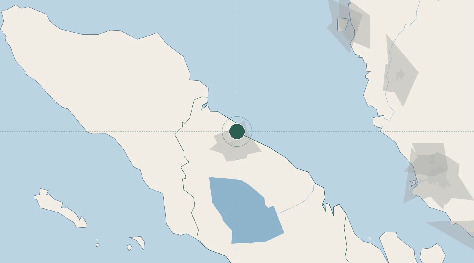
Belawan, Sumatra
3.7813°, 98.6984°
1
Transport functions
2
Container terminals
Transport Functions
Port
Hub Profile
Logistics facilities
21
Container terminals
2
Location
Nearby Logistics Neighbours
Cities
- 1Medan, Sumatra10 km
- 2Kualatanjung96 km
- 3Kualalangsa113 km
- 4Pulau Jarak155 km
- 5Manjung217 km
Ports
- 1Pangkalansusu65 km
- 2Kuala Tanjung99 km
- 3Lumut220 km
- 4Sibolga228 km
- 5Lhokseumawe240 km
Airports
- 1Kualanamu International Airport25 km
- 2Soewondo Air Force Base25 km
- 3Alas Leuser Airport102 km
- 4Silangit Airport172 km
- 5Syekh Hamzah Fansyuri Airport187 km
DatabookThe Record of Consolidated Knowledge
Indonesia beyond logistics?