Industrial Estate · Indonesia
Medan Industrial Estate Active
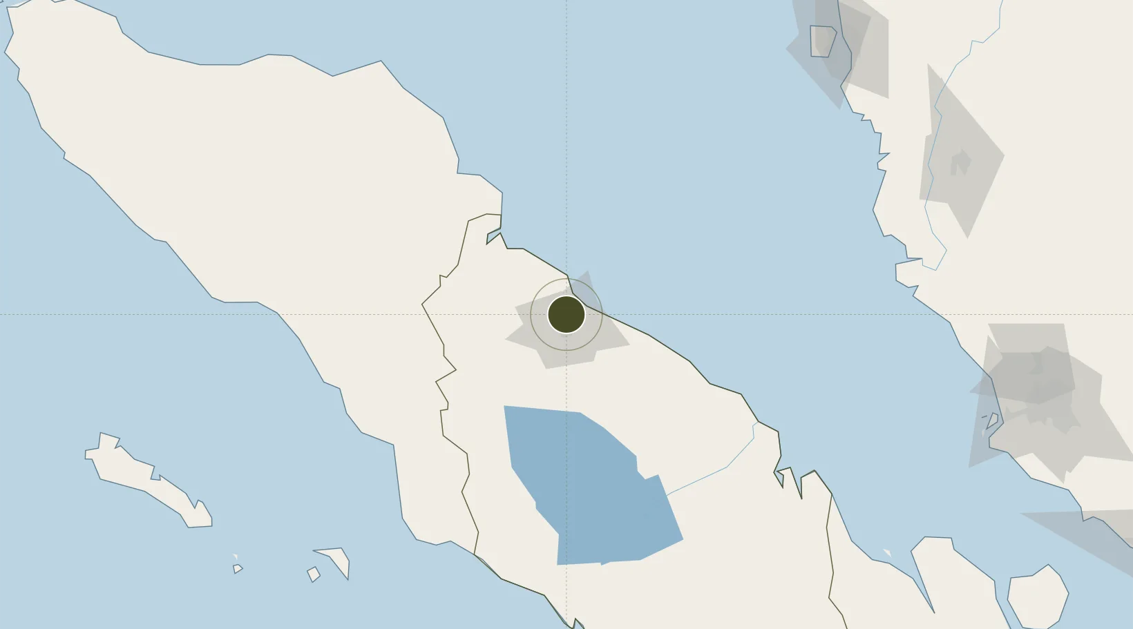
3.6722°, 98.6717°
780 ha
Zone area
12.4 km
Nearest port
12.7 km
Nearest airport
Gateway access
Zone profile
Zone type
Industrial Estate
Region
Sumatera Utara
Status
Active
Established
1988
Management
State-owned enterprise
Operator
PT Kawasan Industri Medan (Persero)
Regulatory authority
Industrial Estate Authority of Indonesia*
Legal framework
Government Regulation No 142/2015
Location
Fiscal & incentives
Corporate tax
25%
Tax relief
Under review
Relief duration
Under review
VAT
Under review
Import duty (inputs)
Under review
Import duty (capex)
Under review
Profit repatriation
Under review
Capital gains
Under review
Withholding tax
Under review
Min. investment
None
Min. export
0%
Employment incentive
Under review
Developer incentive
No established framework
Nearby Logistics Neighbours
Ports
- 1Belawan12 km
- 2Pangkalansusu71 km
- 3Kuala Tanjung96 km
- 4Sibolga216 km
- 5Lumut226 km
Airports
- 1Soewondo Air Force Base13 km
- 2Kualanamu International Airport22 km
- 3Alas Leuser Airport95 km
- 4Silangit Airport161 km
- 5Syekh Hamzah Fansyuri Airport174 km
Cities
- 1Medan, Sumatra2 km
- 2Belawan, Sumatra13 km
- 3Kualatanjung94 km
- 4Kualalangsa120 km
- 5Pulau Jarak160 km
DatabookThe Record of Consolidated Knowledge
Indonesia beyond logistics?