UN/LOCODE hub · Indonesia
IDMES

Medan, Sumatra

3.6935°, 98.6691°
3
Transport functions

Transport Functions

Port
Airport
Postal
UN/LOCODE

Hub Profile

Logistics facilities
2
UN/LOCODE

Location

Location of IDMES
Natural Earth 10m (public domain) · Sumatera Utara · IDMES · 3.69, 98.67GoogleOSMYandex

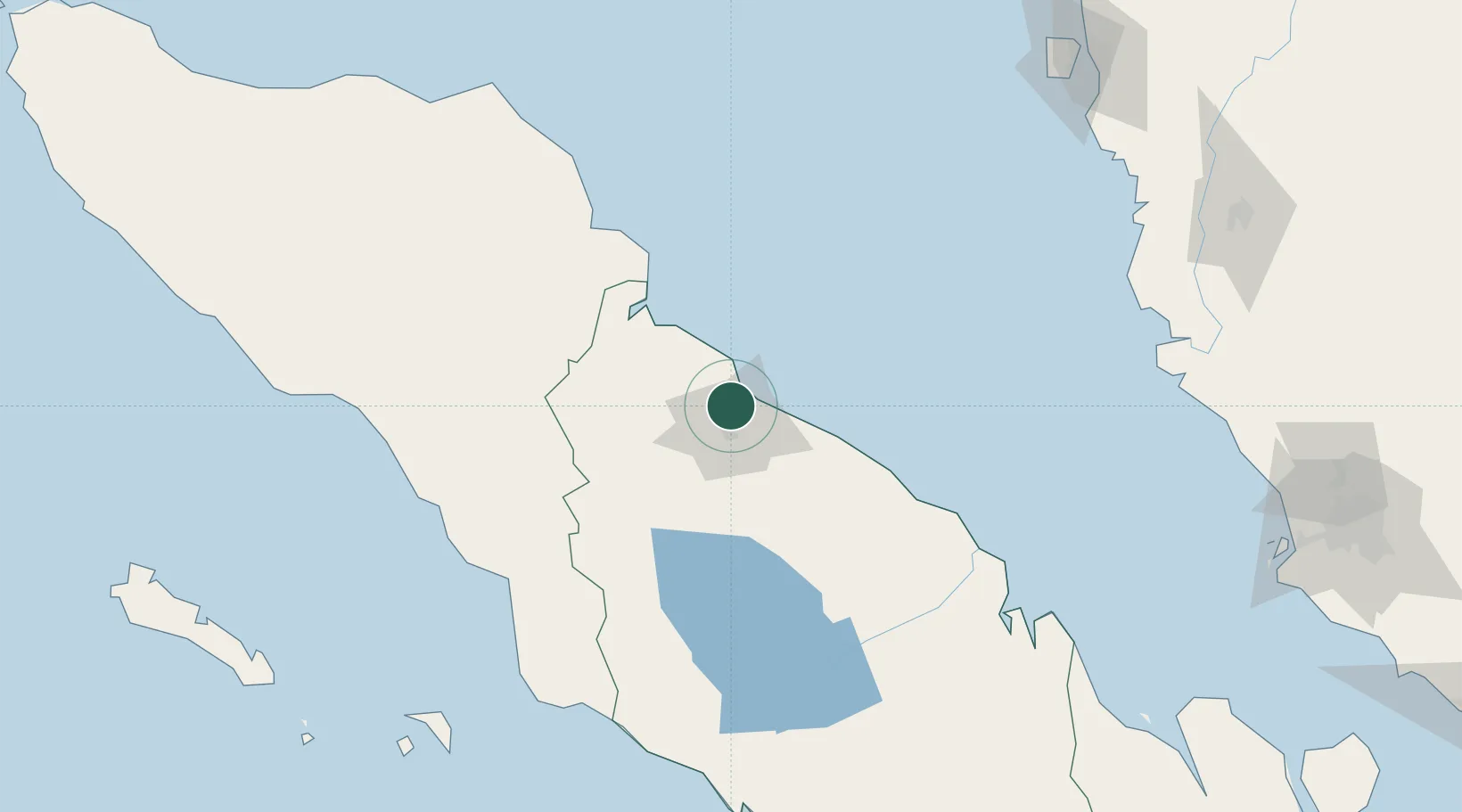
Nearby Logistics Neighbours

Cities
  1. 1Belawan, Sumatra10 km
  2. 2Kualatanjung95 km
  3. 3Kualalangsa118 km
  4. 4Pulau Jarak160 km
  5. 5Manjung222 km
Nearest neighbours — logibook spatial index (haversine) over the source coordinates
Ports
  1. 1Belawan10 km
  2. 2Pangkalansusu69 km
  3. 3Kuala Tanjung97 km
  4. 4Sibolga218 km
  5. 5Lumut226 km
Nearest neighbours — logibook spatial index (haversine) over the source coordinates
Airports
  1. 1Soewondo Air Force Base15 km
  2. 2Kualanamu International Airport23 km
  3. 3Alas Leuser Airport96 km
  4. 4Silangit Airport163 km
  5. 5Syekh Hamzah Fansyuri Airport176 km
Nearest neighbours — logibook spatial index (haversine) over the source coordinates
Trade Zones
  1. 1Medan Industrial Estate2 km
  2. 2Medan Star Industrial Estate23 km
  3. 3Sei Mangkei Special Economic Zone97 km
  4. 4KEK Arun Lhokseumawe245 km
  5. 5Bayan Lepas, Penang Commercial Free Zone Mukim 12, District Of Barat Daya250 km
Nearest neighbours — logibook spatial index (haversine) over the source coordinates
DatabookThe Record of Consolidated Knowledge
Indonesia beyond logistics?
Browse databook

All Sources

LocationsUN/LOCODE
UN/LOCODE — free
Portsthe NGA World Port Index
Public domain (US gov)
AirportsOurAirports
Public domain
Trade Zonesthe World Bank SEZ database
CC BY 4.0
Trade ZonesOpen Zone Map
CC BY
← Indonesia locations