UN/LOCODE hub · Indonesia
IDKTJ
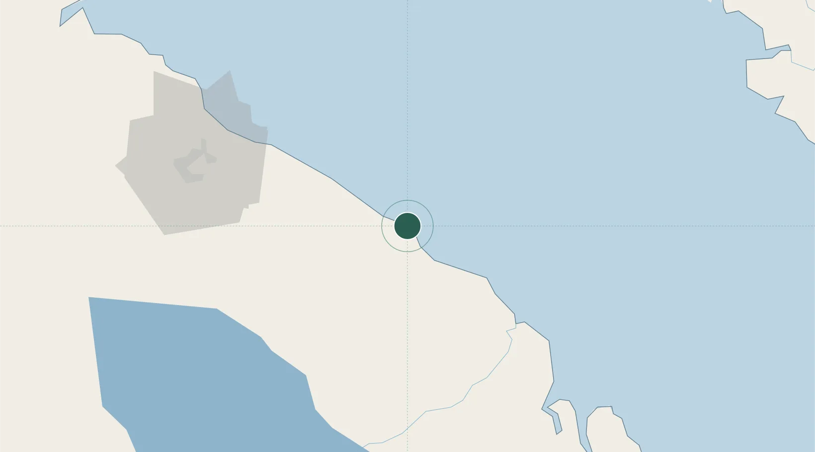
Kualatanjung
3.3716°, 99.4588°
2
Transport functions
1
Container terminals
Transport Functions
Port
Road
Hub Profile
Place type
Populated place
Region
North Sumatra
Time zone
Asia/Jakarta
Elevation
4 m
Logistics facilities
2
Container terminals
1
Location
Nearby Logistics Neighbours
Cities
- 1Medan, Sumatra95 km
- 2Pulau Jarak96 km
- 3Belawan, Sumatra96 km
- 4Manjung155 km
- 5Selekoh159 km
Ports
- 1Belawan98 km
- 2Pangkalansusu161 km
- 3Lumut162 km
- 4Teluk Anson187 km
- 5Sibolga198 km
Airports
- 1Kualanamu International Airport72 km
- 2Soewondo Air Force Base90 km
- 3Silangit Airport134 km
- 4Pulau Pangkor Airport155 km
- 5Alas Leuser Airport177 km
Trade Zones
DatabookThe Record of Consolidated Knowledge
Indonesia beyond logistics?