Channel & Berth Profile
Pilotage, Tugs & Services
Pilotage compulsoryYES
Pilotage availableYES
Tug assistanceYES
Salvage tugsNO
Potable waterNO
Diesel bunkersNO
MedicalYES
Facilities & Capabilities
Container—
Ro-Ro—
Liquid bulk—
Dry bulk—
Oil terminal—
Break bulk—
Dry dockNO
RepairsNO
BunkeringNO
Rail link—
Dangerous cargo—
ISPS security—
Harbour Specifications
Harbour size
Very Small
Harbour type
Coastal (Natural)
Shelter
Fair
Water body
Strait of Malacca; Indian Ocean
Overhead limit
No
Pilotage
Yes
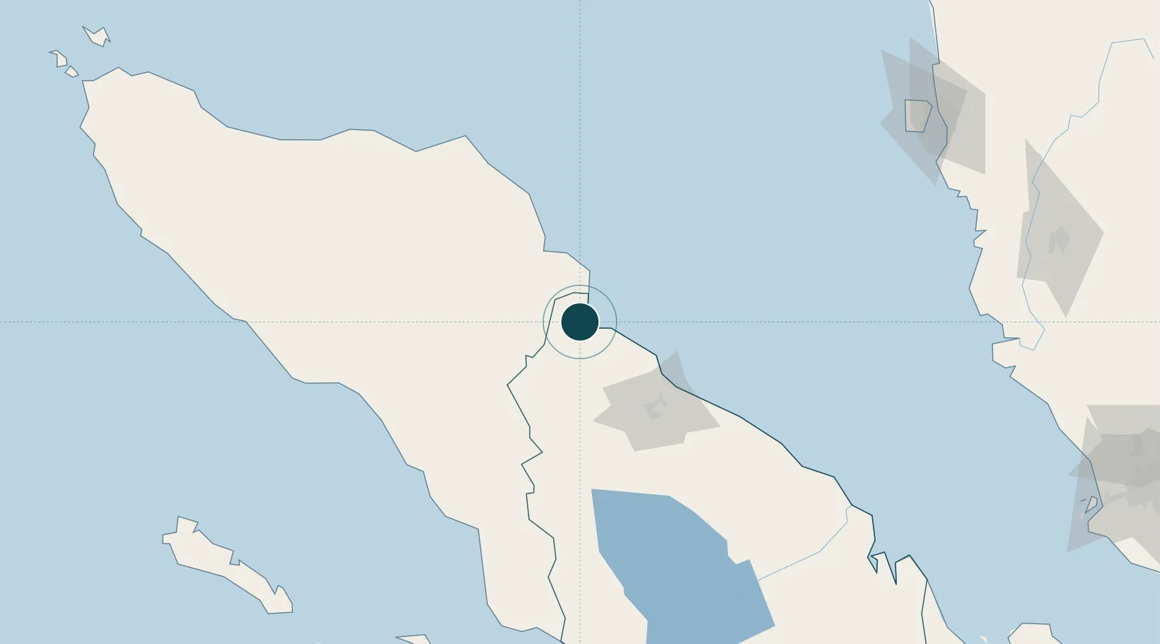
Location
Nearby Logistics Neighbours
Ports
- 1Belawan64 km
- 2Kuala Tanjung163 km
- 3Blanglancang175 km
- 4Lhokseumawe175 km
- 5Lumut268 km
Cities
- 1Kualalangsa51 km
- 2Belawan, Sumatra65 km
- 3Medan, Sumatra69 km
- 4Kualatanjung161 km
- 5Lhokseumawe168 km
Airports
- 1Soewondo Air Force Base80 km
- 2Alas Leuser Airport90 km
- 3Kualanamu International Airport90 km
- 4Lhok Sukon Airport150 km
- 5Rembele Airport166 km
DatabookThe Record of Consolidated Knowledge
Indonesia beyond logistics?