Small airport · Indonesia
Syekh Hamzah Fansyuri AirportID-0139
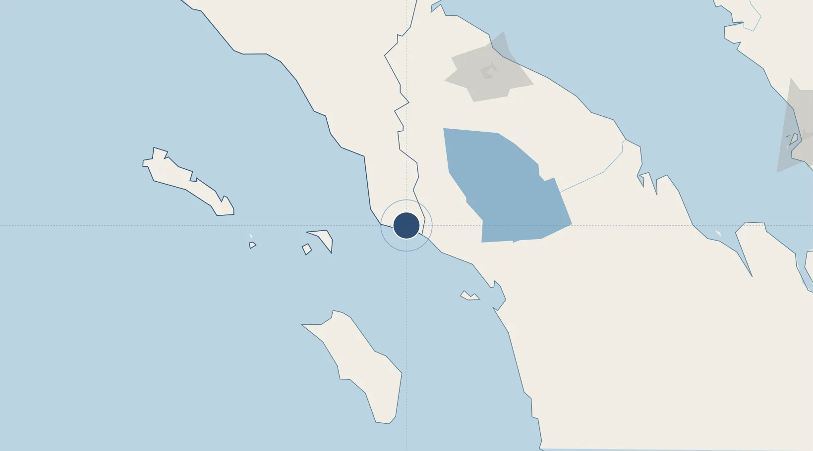
2.2696°, 97.9679°
2,953 ft
Longest runway
1
Runways
17 ft
Elevation
Runway & Layout

Runways · 1
| Runway | Dimensions | Surface | True heading | Lit |
|---|---|---|---|---|
| 12/30 | 2,953 × 75ft | Asphalt/Concrete | — | — |
Airport Specifications
IATA code
FSH
ICAO code
WIMI
Airport class
Small airport
Scheduled service
Yes
Runway surface
Asphalt/Concrete
Served city
Singkil
Location
Nearby Logistics Neighbours
Airports
- 1Silangit Airport114 km
- 2Alas Leuser Airport125 km
- 3Binaka Airport126 km
- 4Dr. Ferdinand Lumban Tobing Airport129 km
- 5Soewondo Air Force Base163 km
Cities
- 1Medan, Sumatra176 km
- 2Belawan, Sumatra187 km
- 3Kualatanjung206 km
- 4Kualalangsa252 km
- 5Pulau Jarak301 km
Ports
- 1Sibolga107 km
- 2Belawan186 km
- 3Pangkalansusu207 km
- 4Kuala Tanjung208 km
- 5Blanglancang343 km
Trade Zones
- 1Medan Star Industrial Estate169 km
- 2Medan Industrial Estate174 km
- 3Sei Mangkei Special Economic Zone180 km
- 4KEK Arun Lhokseumawe342 km
- 5Pulau Indah Free Industrial Zone377 km
DatabookThe Record of Consolidated Knowledge
Indonesia beyond logistics?