Channel & Berth Profile
Pilotage, Tugs & Services
Pilotage compulsoryNO
Pilotage availableNO
Tug assistanceNO
Potable waterNO
Diesel bunkersNO
MedicalYES
Garbage disposalYES
Facilities & Capabilities
Container—
Ro-Ro—
Liquid bulk—
Dry bulk—
Oil terminal—
Break bulk—
Dry dock—
Repairs—
BunkeringNO
Rail link—
Dangerous cargo—
ISPS security—
Harbour Specifications
Harbour size
Very Small
Harbour type
Coastal (Natural)
Shelter
Fair
Water body
Indian Ocean
Overhead limit
Yes
Pilotage
No
Liner Connectivity
8.5
PLSCI
Port Liner Shipping Connectivity Index for Sibolga, as published by UNCTAD for the latest available quarter. Higher values indicate stronger scheduled liner-shipping integration.
Shown relative to the highest per-port PLSCI in the dataset (1,657.9).
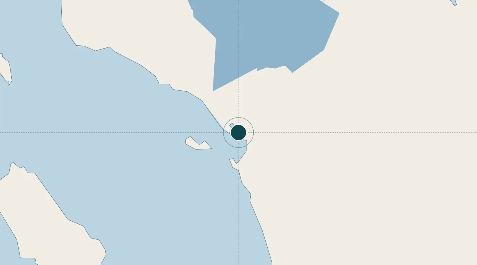
Location
Nearby Logistics Neighbours
Ports
- 1Kuala Tanjung198 km
- 2Belawan228 km
- 3Pangkalansusu272 km
- 4Dumai298 km
- 5Port Klang325 km
Cities
- 1Kualatanjung198 km
- 2Medan, Sumatra218 km
- 3Belawan, Sumatra228 km
- 4Pulau Jarak288 km
- 5Bukittinggi289 km
Airports
- 1Dr. Ferdinand Lumban Tobing Airport24 km
- 2Silangit Airport64 km
- 3Aek Godang Airport83 km
- 4Syekh Hamzah Fansyuri Airport107 km
- 5Binaka Airport134 km
Trade Zones
- 1Sei Mangkei Special Economic Zone168 km
- 2Medan Star Industrial Estate201 km
- 3Medan Industrial Estate216 km
- 4Pulau Indah Free Industrial Zone310 km
- 5Port Klang Free Zone311 km
DatabookThe Record of Consolidated Knowledge
Indonesia beyond logistics?