Transport Functions
Port
Hub Profile
Place type
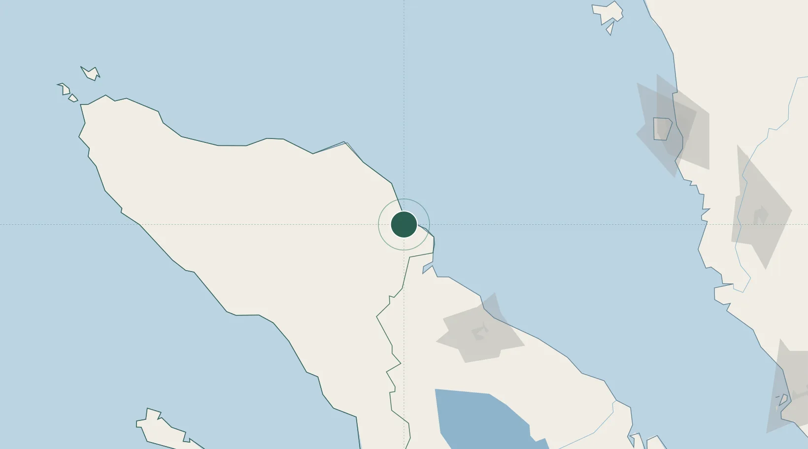
Populated place
Region
Aceh
Time zone
Asia/Jakarta
Elevation
1 m
Location
Nearby Logistics Neighbours
Cities
- 1Belawan, Sumatra113 km
- 2Medan, Sumatra118 km
- 3Lhokseumawe121 km
- 4Krueng Geukueh135 km
- 5Kualatanjung206 km
Ports
- 1Pangkalansusu51 km
- 2Belawan112 km
- 3Lhokseumawe128 km
- 4Blanglancang128 km
- 5Kuala Tanjung208 km
Airports
- 1Lhok Sukon Airport103 km
- 2Alas Leuser Airport128 km
- 3Soewondo Air Force Base131 km
- 4Rembele Airport131 km
- 5Kualanamu International Airport137 km
Trade Zones
DatabookThe Record of Consolidated Knowledge
Indonesia beyond logistics?