Seaport · Indonesia
Kuala TanjungIDKTJ
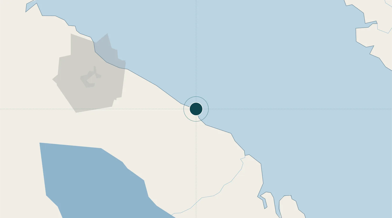
3.3667°, 99.4833°
7.9 m
Channel depth
1
Container terminals
17.8
Port liner connectivity
Channel & Berth Profile
Pilotage, Tugs & Services
Pilotage compulsoryYES
Pilotage availableYES
Tug assistanceYES
Potable waterYES
MedicalYES
Facilities & Capabilities
Container—
Ro-Ro—
Liquid bulk—
Dry bulk—
Oil terminal—
Break bulk—
Dry dock—
Repairs—
BunkeringYES
Rail link—
Dangerous cargo—
ISPS security—
Harbour Specifications
Harbour size
Very Small
Harbour type
Open Roadstead
Shelter
Poor
Water body
Strait of Malacca; Indian Ocean
Tidal range
2 m
Pilotage
Yes
Liner Connectivity
17.8
PLSCI
Port Liner Shipping Connectivity Index for Kuala Tanjung, as published by UNCTAD for the latest available quarter. Higher values indicate stronger scheduled liner-shipping integration.
Shown relative to the highest per-port PLSCI in the dataset (1,657.9).
Location
Container Terminals · 1
KUALA TANJUNG MULTIPURPOSE TERMINAL (KTMT)
KTMT PT PRIMA MULTI TERMINAL KUALA TANJUNG
Nearby Logistics Neighbours
Ports
- 1Belawan100 km
- 2Lumut160 km
- 3Pangkalansusu163 km
- 4Teluk Anson185 km
- 5Sibolga198 km
Cities
- 1Pulau Jarak94 km
- 2Medan, Sumatra97 km
- 3Belawan, Sumatra99 km
- 4Manjung153 km
- 5Selekoh157 km
Airports
- 1Kualanamu International Airport74 km
- 2Soewondo Air Force Base93 km
- 3Silangit Airport135 km
- 4Pulau Pangkor Airport154 km
- 5Alas Leuser Airport180 km
Trade Zones
DatabookThe Record of Consolidated Knowledge
Indonesia beyond logistics?