Channel & Berth Profile
Pilotage, Tugs & Services
Pilotage compulsoryYES
Pilotage availableYES
Tug assistanceYES
Potable waterYES
Diesel bunkersNO
MedicalYES
Garbage disposalNO
Facilities & Capabilities
Container—
Ro-Ro—
Liquid bulk—
Dry bulk—
Oil terminal—
Break bulk—
Dry dock—
Repairs—
BunkeringNO
Rail linkYES
Dangerous cargo—
ISPS security—
Harbour Specifications
Harbour size
Very Small
Harbour type
Open Roadstead
Shelter
Fair
Water body
Andaman Sea; Indian Ocean
Tidal range
2 m
Pilotage
Yes
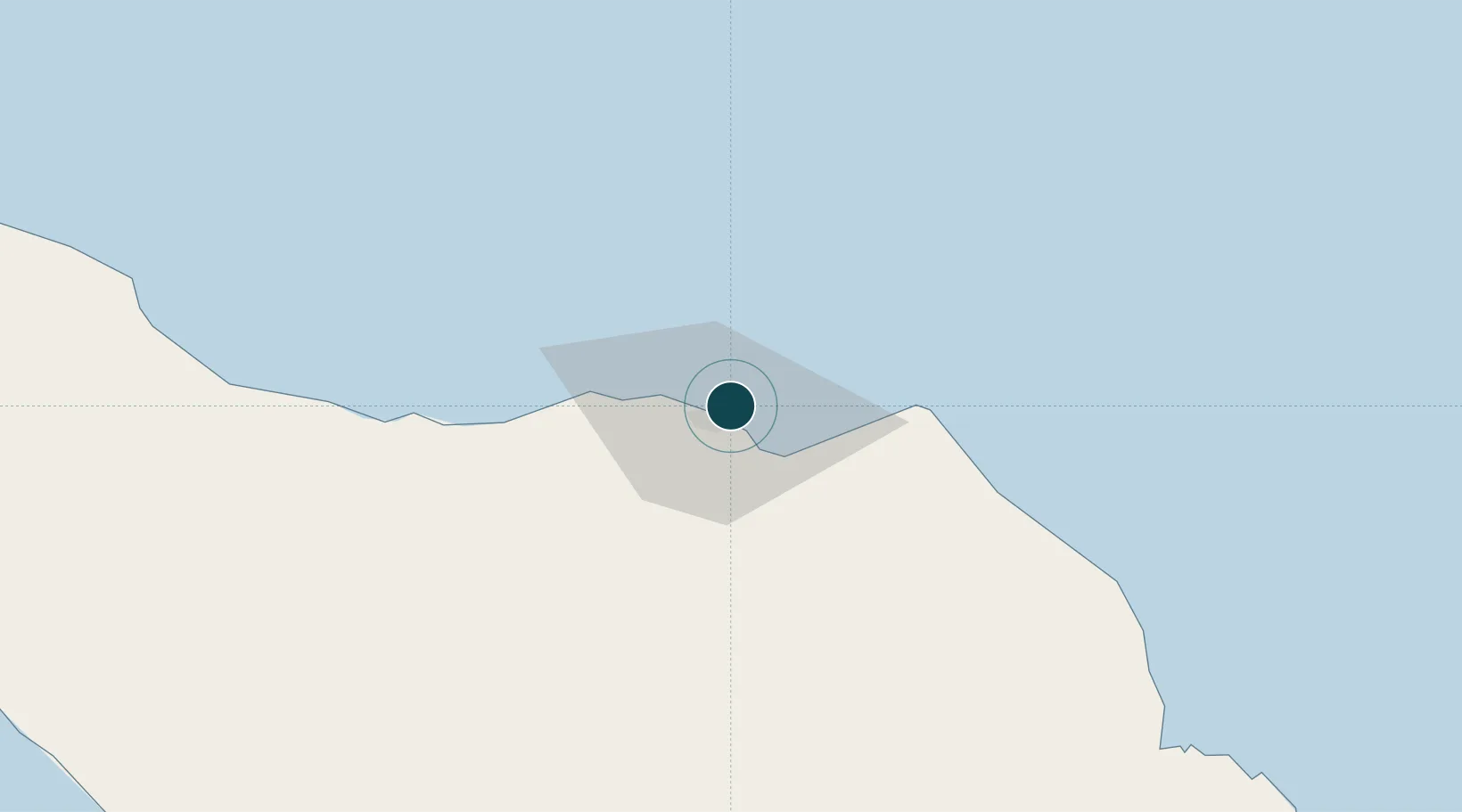
Location
Nearby Logistics Neighbours
Ports
- 1Blanglancang3 km
- 2Pangkalansusu175 km
- 3Uleelheue206 km
- 4Sabang211 km
- 5Belawan238 km
Cities
- 1Krueng Geukueh9 km
- 2Kualalangsa128 km
- 3Sabang, Sumatra206 km
- 4Balohan207 km
- 5Belawan, Sumatra240 km
Airports
- 1Malikus Saleh Airport19 km
- 2Lhok Sukon Airport26 km
- 3Rembele Airport66 km
- 4Cut Nyak Dhien Airport165 km
- 5Sultan Iskandar Muda International Airport190 km
Trade Zones
DatabookThe Record of Consolidated Knowledge
Indonesia beyond logistics?