UN/LOCODE hub · Malaysia
MYMAN

Manjung

4.1500°, 100.6167°
1
Transport functions

Transport Functions

Port
UN/LOCODE

Hub Profile

Region
08
GeoNames

Location

Location of MYMAN
Natural Earth 10m (public domain) · 08 · MYMAN · 4.15, 100.62GoogleOSMYandex

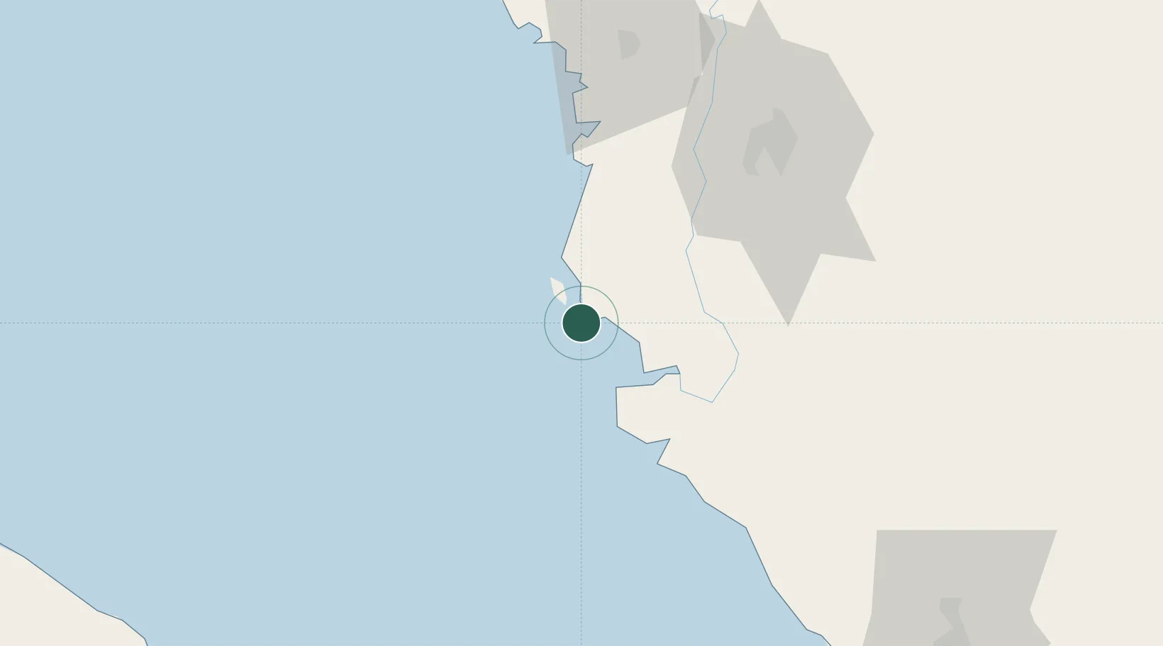
Nearby Logistics Neighbours

Cities
  1. 1Simpang Lima13 km
  2. 2Selekoh32 km
  3. 3Hutan Melintang46 km
  4. 4Teronoh50 km
  5. 5Batu Gajah60 km
Nearest neighbours — logibook spatial index (haversine) over the source coordinates
Ports
  1. 1Lumut9 km
  2. 2Teluk Anson47 km
  3. 3Pulau Pinang144 km
  4. 4Kuala Tanjung153 km
  5. 5Port Klang155 km
Nearest neighbours — logibook spatial index (haversine) over the source coordinates
Airports
  1. 1Pulau Pangkor Airport13 km
  2. 2Sultan Azlan Shah Airport70 km
  3. 3Penang International Airport133 km
  4. 4RMAF Butterworth Air Base148 km
  5. 5Sultan Abdul Aziz Shah International Airport154 km
Nearest neighbours — logibook spatial index (haversine) over the source coordinates
Trade Zones
  1. 1Jelapang Ii71 km
  2. 2Kinta Free Industrial Zone81 km
  3. 3Northern Corridor Economic Region129 km
  4. 4Bayan Lepas, Penang Commercial Free Zone Mukim 12, District Of Barat Daya134 km
  5. 5Second Air Cargo Complex (Kkuk) Free Zone Penang134 km
Nearest neighbours — logibook spatial index (haversine) over the source coordinates
DatabookThe Record of Consolidated Knowledge
Malaysia beyond logistics?
Browse databook

All Sources

LocationsUN/LOCODE
UN/LOCODE — free
Portsthe NGA World Port Index
Public domain (US gov)
AirportsOurAirports
Public domain
Trade Zonesthe World Bank SEZ database
CC BY 4.0
Trade ZonesOpen Zone Map
CC BY
← Malaysia locations