Large airport · Indonesia
Kualanamu International AirportWIMM
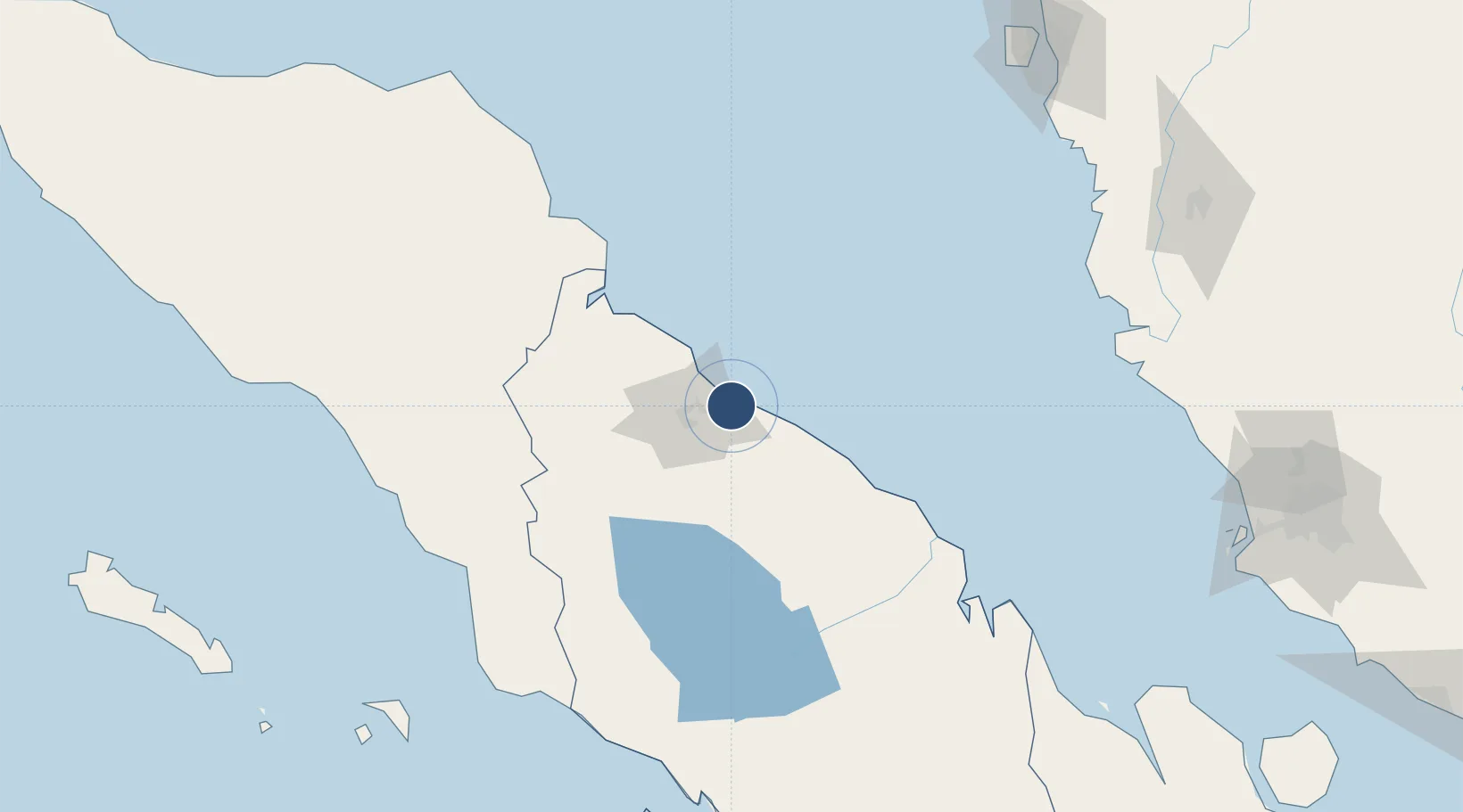
3.6378°, 98.8706°
12,303 ft
Longest runway
1
Runways
23 ft
Elevation
Runway & Layout

Radio Frequencies
ATIS
126.3 MHz
TWR
118.6 MHz
zoel
Runways · 1
| Runway | Dimensions | Surface | True heading | Lit |
|---|---|---|---|---|
| 05/23 | 12,303 × 197ft | asphalt/concrete | — | ✓ |
Airport Specifications
IATA code
KNO
ICAO code
WIMM
Airport class
Large airport
Scheduled service
Yes
Runway surface
asphalt/concrete
Served city
Beringin
Location
Nearby Logistics Neighbours
Airports
- 1Soewondo Air Force Base24 km
- 2Alas Leuser Airport115 km
- 3Silangit Airport154 km
- 4Syekh Hamzah Fansyuri Airport182 km
- 5Pulau Pangkor Airport199 km
Cities
- 1Medan, Sumatra23 km
- 2Belawan, Sumatra25 km
- 3Kualatanjung72 km
- 4Kualalangsa137 km
- 5Pulau Jarak139 km
Ports
- 1Belawan26 km
- 2Kuala Tanjung74 km
- 3Pangkalansusu90 km
- 4Lumut207 km
- 5Sibolga212 km
DatabookThe Record of Consolidated Knowledge
Indonesia beyond logistics?