Export Processing Zone · Malaysia

Bayan Lepas, Penang Commercial Free Zone Mukim 12, District Of Barat Daya Active
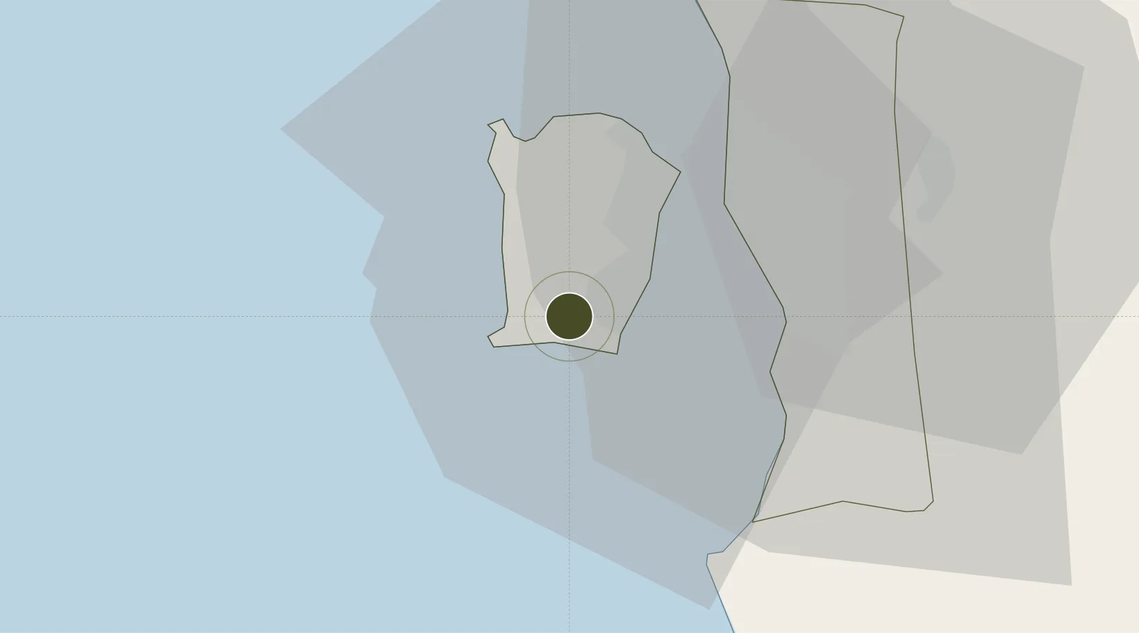
5.2951°, 100.2484°
520 ha
Zone area
17.6 km
Nearest port
3.1 km
Nearest airport

Gateway access

Nearest neighbours — logibook spatial index (haversine) over the source coordinates

Zone profile

Zone type
Export Processing Zone
Open Zone Map
Region
Pulau Pinang
Open Zone Map
Status
Active
Open Zone Map
Management
Public
Open Zone Map
Operator
Penang City Council
Open Zone Map
Legal framework
Free Zones Act of 1990 (Act 438)
Open Zone Map

Location

Location of ozm-2782
Natural Earth 10m (public domain) · Pulau Pinang · ozm-2782 · 5.30, 100.25GoogleOSMYandex

Nearby Logistics Neighbours

Ports
  1. 1Pulau Pinang18 km
  2. 2Lumut126 km
  3. 3Port Langkawi137 km
  4. 4Teluk Anson166 km
  5. 5Songkhla Harbor217 km
Nearest neighbours — logibook spatial index (haversine) over the source coordinates
Airports
  1. 1Penang International Airport3 km
  2. 2RMAF Butterworth Air Base25 km
  3. 3Sultan Abdul Halim Airport101 km
  4. 4Betong International Airport114 km
  5. 5Pulau Pangkor Airport122 km
Nearest neighbours — logibook spatial index (haversine) over the source coordinates
Cities
  1. 1Batu Maung4 km
  2. 2Jelutong14 km
  3. 3George Town17 km
  4. 4Perai17 km
  5. 5Pulau Tikus17 km
Nearest neighbours — logibook spatial index (haversine) over the source coordinates
Trade Zones
  1. 1Second Air Cargo Complex (Kkuk) Free Zone Penang3 km
  2. 2Bayan Lepas Free Commercial Zone3 km
  3. 3Perai Free Industrial Zone3 km
  4. 4Bayan Lepas Free Zone5 km
  5. 5Butterworth Free Commercial Zone18 km
Nearest neighbours — logibook spatial index (haversine) over the source coordinates
DatabookThe Record of Consolidated Knowledge
Malaysia beyond logistics?
Browse databook

All Sources

Trade ZonesOpen Zone Map
CC BY
Portsthe NGA World Port Index
Public domain (US gov)
AirportsOurAirports
Public domain
LocationsUN/LOCODE
UN/LOCODE — free
← Malaysia trade zones