Medium airport · Indonesia

Alas Leuser AirportWIMU
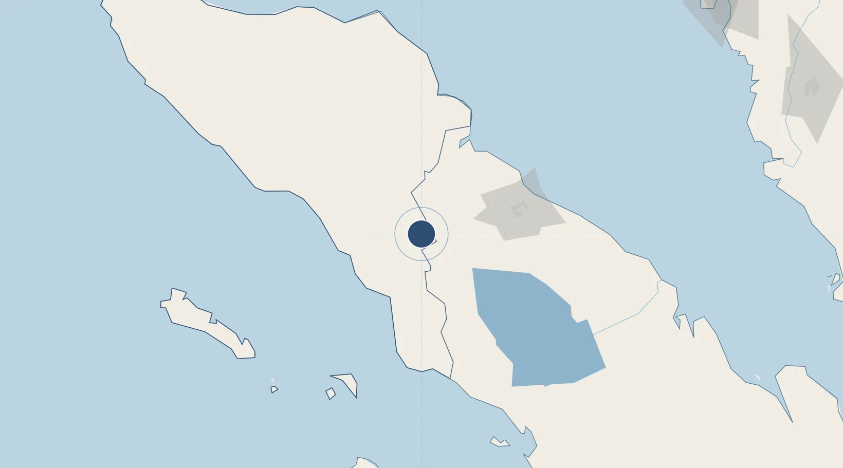
3.3915°, 97.8637°
5,358 ft
Longest runway
1
Runways
419 ft
Elevation

Runway & Layout

Alas Leuser Airport runway & taxiway layout
Runway & taxiway layout — OpenStreetMap (ODbL) / OurAirports

Runways · 1

RunwayDimensions SurfaceTrue headingLit
15/33 5,358 × 98ft Asphalt 146°
OurAirports

Airport Specifications

IATA code
LSR
OurAirports
ICAO code
WIMU
OurAirports
Airport class
Medium airport
OurAirports
Scheduled service
Yes
OurAirports
Runway surface
Asphalt
OurAirports
Served city
Kutacane
OurAirports

Location

Location of WIMU
Natural Earth 10m (public domain) · Aceh · WIMU · 3.39, 97.86GoogleOSMYandex

Nearby Logistics Neighbours

Airports
  1. 1Soewondo Air Force Base92 km
  2. 2Kualanamu International Airport115 km
  3. 3Syekh Hamzah Fansyuri Airport125 km
  4. 4Silangit Airport178 km
  5. 5Rembele Airport186 km
Nearest neighbours — logibook spatial index (haversine) over the source coordinates
Cities
  1. 1Medan, Sumatra96 km
  2. 2Belawan, Sumatra102 km
  3. 3Kualalangsa128 km
  4. 4Kualatanjung177 km
  5. 5Lhokseumawe213 km
Nearest neighbours — logibook spatial index (haversine) over the source coordinates
Ports
  1. 1Pangkalansusu90 km
  2. 2Belawan101 km
  3. 3Kuala Tanjung180 km
  4. 4Sibolga210 km
  5. 5Blanglancang222 km
Nearest neighbours — logibook spatial index (haversine) over the source coordinates
Trade Zones
  1. 1Medan Industrial Estate95 km
  2. 2Medan Star Industrial Estate106 km
  3. 3Sei Mangkei Special Economic Zone167 km
  4. 4KEK Arun Lhokseumawe221 km
  5. 5Bayan Lepas, Penang Commercial Free Zone Mukim 12, District Of Barat Daya339 km
Nearest neighbours — logibook spatial index (haversine) over the source coordinates
DatabookThe Record of Consolidated Knowledge
Indonesia beyond logistics?
Browse databook

All Sources

AirportsOurAirports
Public domain
Portsthe NGA World Port Index
Public domain (US gov)
LocationsUN/LOCODE
UN/LOCODE — free
Trade Zonesthe World Bank SEZ database
CC BY 4.0
Trade ZonesOpen Zone Map
CC BY
InfrastructureOpenStreetMap
ODbL 1.0
← Indonesia airports