Transport Functions
Port
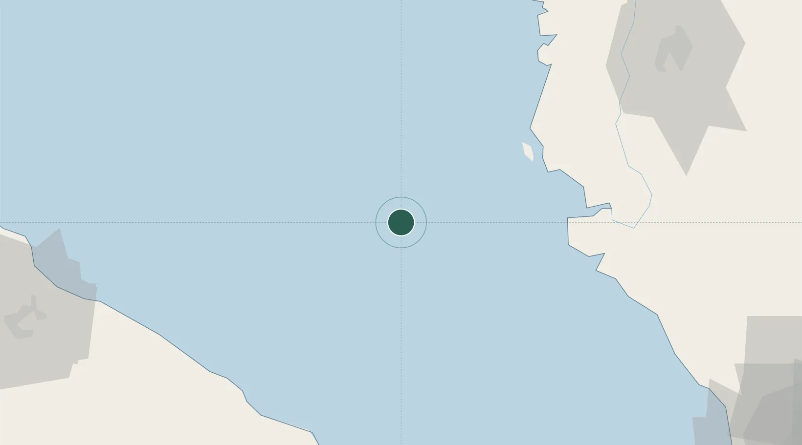
Location
Nearby Logistics Neighbours
Cities
- 1Manjung63 km
- 2Simpang Lima75 km
- 3Selekoh78 km
- 4Hutan Melintang95 km
- 5Kualatanjung96 km
Ports
- 1Lumut68 km
- 2Kuala Tanjung94 km
- 3Teluk Anson104 km
- 4Belawan157 km
- 5Pulau Pinang164 km
Airports
- 1Pulau Pangkor Airport61 km
- 2Sultan Azlan Shah Airport130 km
- 3Kualanamu International Airport139 km
- 4Penang International Airport149 km
- 5Soewondo Air Force Base163 km
Trade Zones
DatabookThe Record of Consolidated Knowledge
Malaysia beyond logistics?