Diversified Zone · Indonesia
Medan Star Industrial Estate Active
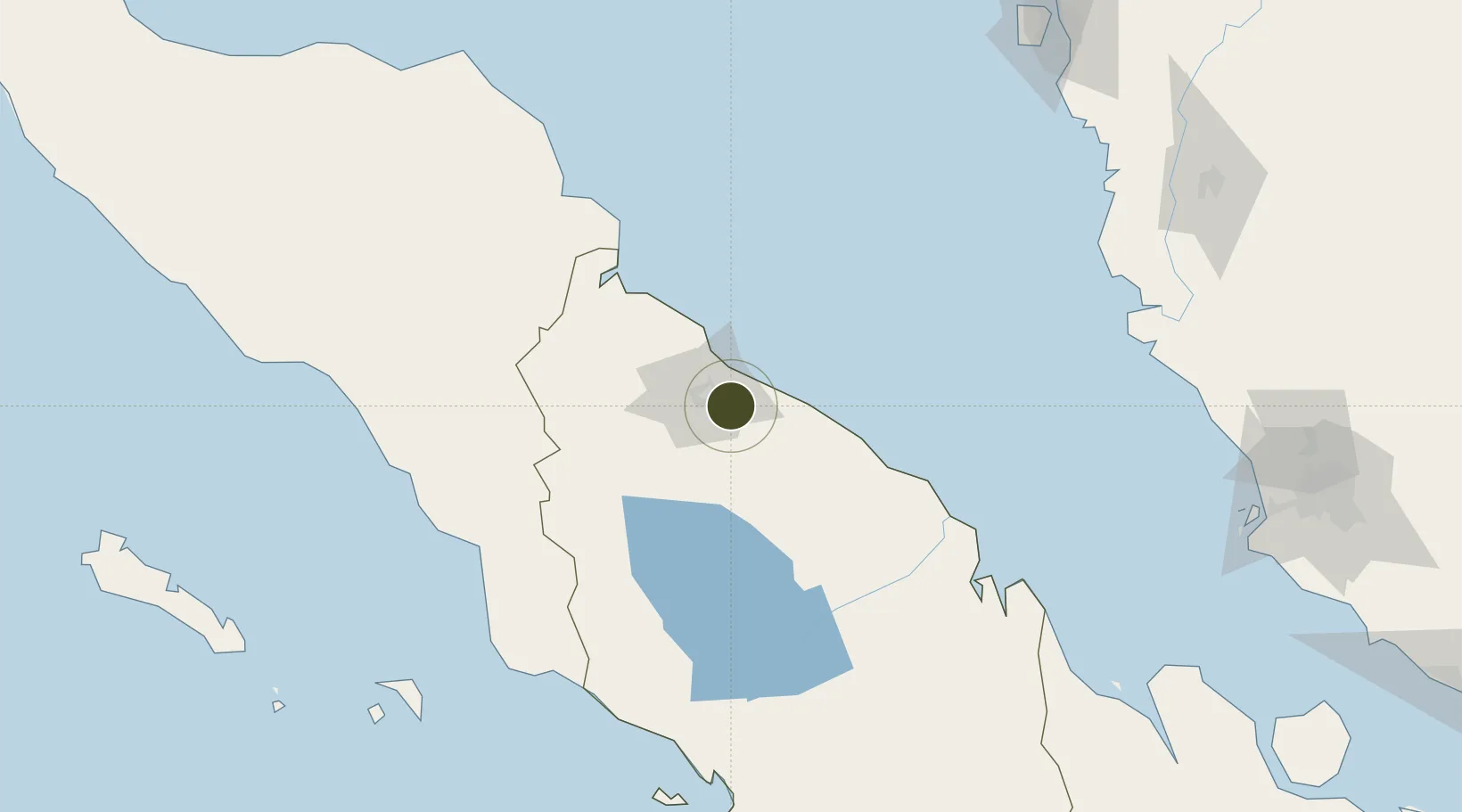
3.5386°, 98.8080°
103 ha
Zone area
30.5 km
Nearest port
13.0 km
Nearest airport
Gateway access
Zone profile
Zone type
Diversified Zone
Region
Sumatera Utara
Status
Active
Management
Private
Operator
PT Tamoratama Prakarsa
Legal framework
The Law No 3. Article 106, issued in 2014
Location
Nearby Logistics Neighbours
Ports
- 1Belawan31 km
- 2Kuala Tanjung77 km
- 3Pangkalansusu92 km
- 4Sibolga201 km
- 5Lumut217 km
Airports
- 1Kualanamu International Airport13 km
- 2Soewondo Air Force Base15 km
- 3Alas Leuser Airport106 km
- 4Silangit Airport144 km
- 5Syekh Hamzah Fansyuri Airport169 km
Cities
- 1Medan, Sumatra23 km
- 2Belawan, Sumatra30 km
- 3Kualatanjung75 km
- 4Kualalangsa141 km
- 5Pulau Jarak149 km
DatabookThe Record of Consolidated Knowledge
Indonesia beyond logistics?