Special Economic Zone · Indonesia
Sei Mangkei Special Economic Zone Active
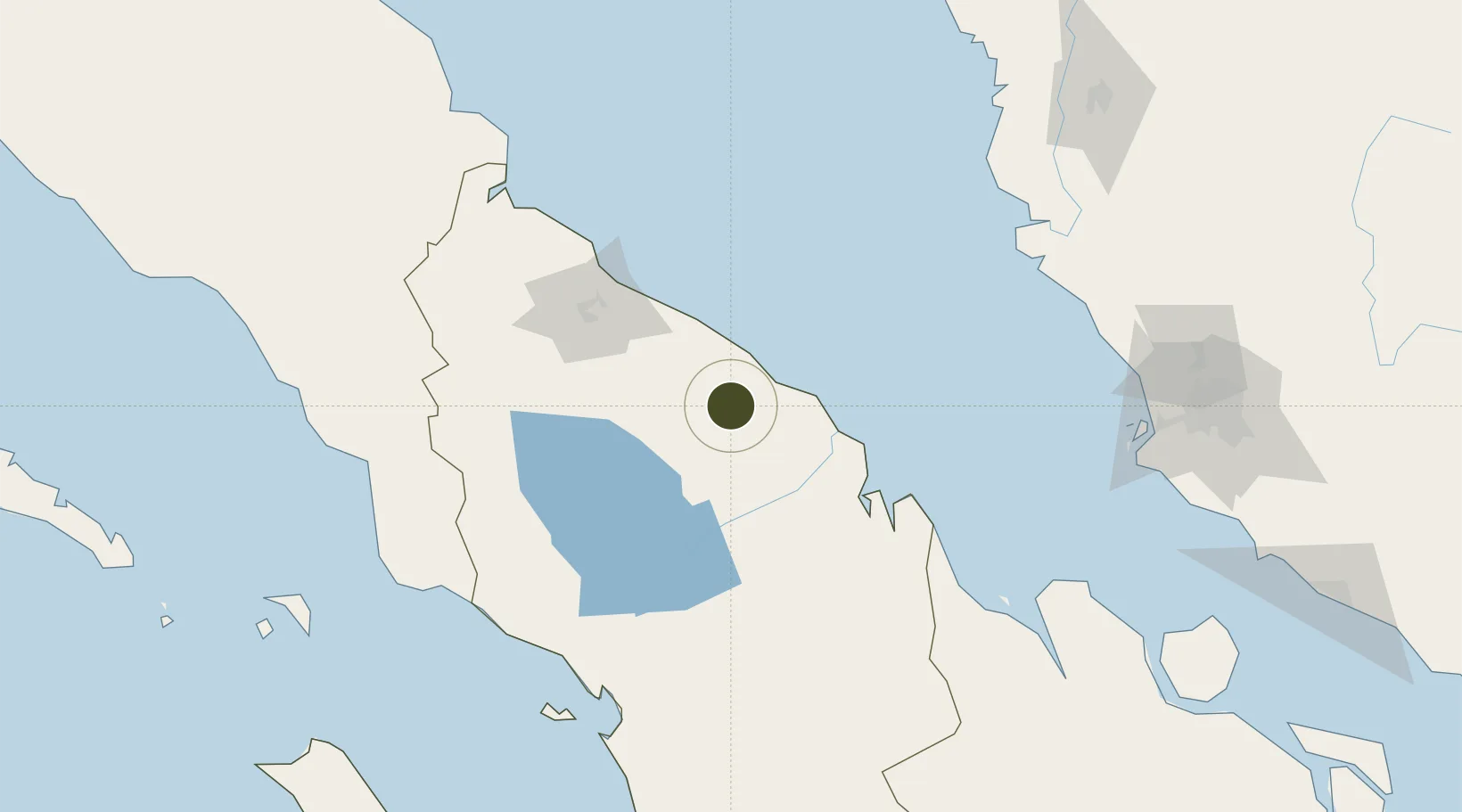
3.1319°, 99.3425°
2,002 ha
Zone area
30.4 km
Nearest port
76.9 km
Nearest airport
Gateway access
Zone profile
Zone type
Special Economic Zone
Region
Sumatera Utara
Status
Active
Established
2012
Management
State-owned enterprise
Operator
PT Perkebunan Nusantara III
Regulatory authority
National Council and Zone Council
Legal framework
Law No 39 regarding Special Economic Zones
Location
Fiscal & incentives
Corporate tax
25%
Tax relief
20-100% exempt, depending on MoF discretion
Relief duration
5 - 15 years
VAT
100% exempt from VAT, luxury sales tax, and excise tax on raw materials
Import duty (inputs)
0% exempt
Import duty (capex)
0% exempt
Profit repatriation
No exemption
Capital gains
No exemption
Withholding tax
No exemption
Min. investment
$37M
Min. export
0%
Employment incentive
No exemption
Developer incentive
Yes
Nearby Logistics Neighbours
Ports
- 1Kuala Tanjung30 km
- 2Belawan103 km
- 3Pangkalansusu166 km
- 4Sibolga168 km
- 5Lumut189 km
Airports
- 1Kualanamu International Airport77 km
- 2Soewondo Air Force Base88 km
- 3Silangit Airport105 km
- 4Alas Leuser Airport167 km
- 5Syekh Hamzah Fansyuri Airport180 km
Cities
- 1Kualatanjung30 km
- 2Medan, Sumatra97 km
- 3Belawan, Sumatra102 km
- 4Pulau Jarak124 km
- 5Manjung181 km
Trade Zones
- 1Medan Star Industrial Estate75 km
- 2Medan Industrial Estate96 km
- 3Pulau Indah Free Industrial Zone218 km
- 4Port Klang Free Zone218 km
- 5Westport Free Zone219 km
DatabookThe Record of Consolidated Knowledge
Indonesia beyond logistics?