Small airport · Indonesia
Silangit AirportWIMN
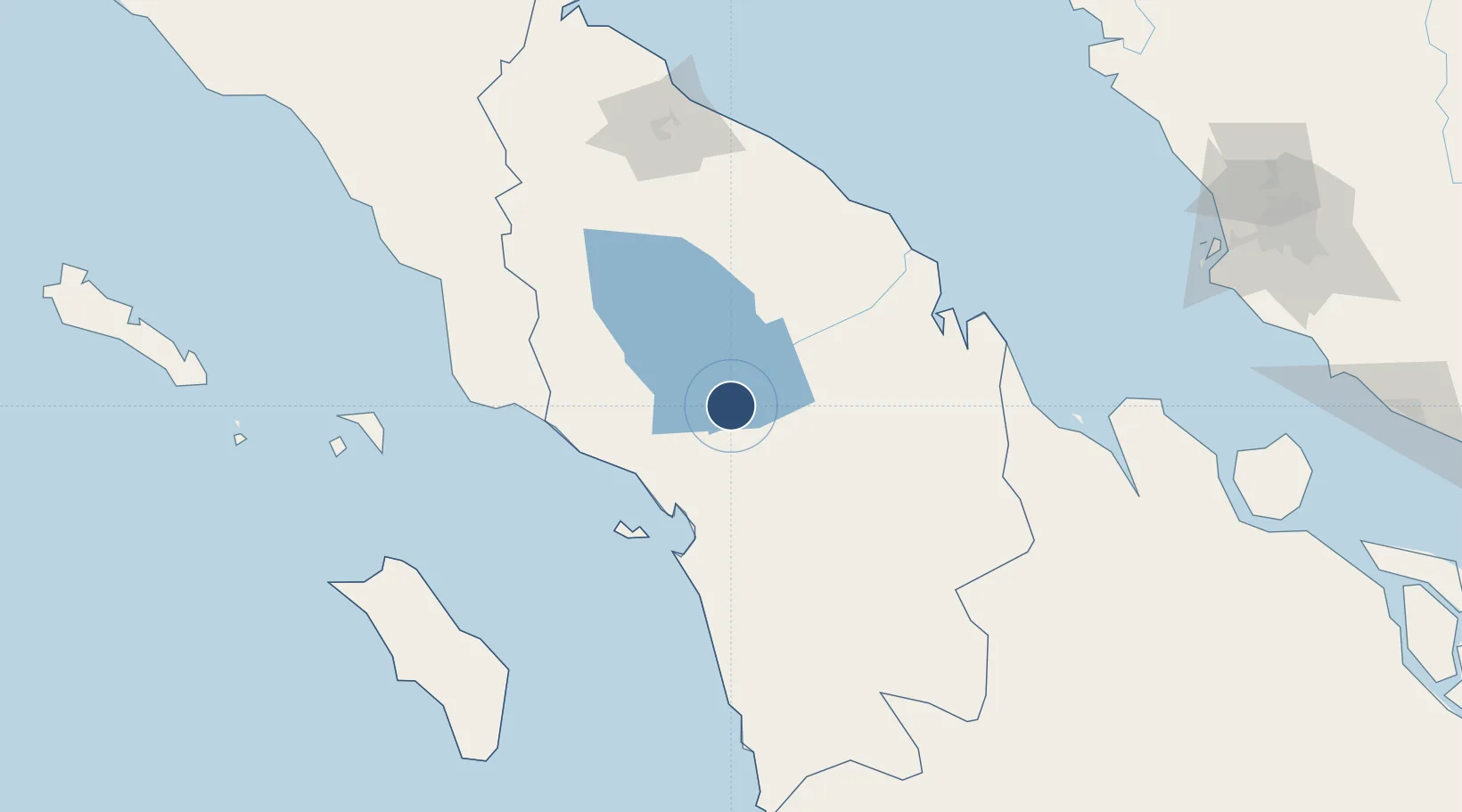
2.2597°, 98.9919°
7,875 ft
Longest runway
1
Runways
4,700 ft
Elevation
Runway & Layout

Radio Frequencies
INFO
658.9 MHz
Runways · 1
| Runway | Dimensions | Surface | True heading | Lit |
|---|---|---|---|---|
| 09/27 | 7,875 × 98ft | Asphalt | 093° | — |
Airport Specifications
IATA code
DTB
ICAO code
WIMN
Airport class
Small airport
Scheduled service
Yes
Runway surface
Asphalt
Served city
Siborong-Borong
Location
Nearby Logistics Neighbours
Airports
- 1Dr. Ferdinand Lumban Tobing Airport79 km
- 2Aek Godang Airport107 km
- 3Syekh Hamzah Fansyuri Airport114 km
- 4Soewondo Air Force Base149 km
- 5Kualanamu International Airport154 km
Cities
- 1Kualatanjung134 km
- 2Medan, Sumatra163 km
- 3Belawan, Sumatra172 km
- 4Pulau Jarak225 km
- 5Kuala Selangor258 km
Ports
- 1Sibolga64 km
- 2Kuala Tanjung135 km
- 3Belawan173 km
- 4Pangkalansusu224 km
- 5Port Klang280 km
Trade Zones
- 1Sei Mangkei Special Economic Zone105 km
- 2Medan Star Industrial Estate144 km
- 3Medan Industrial Estate161 km
- 4Pulau Indah Free Industrial Zone266 km
- 5Port Klang Free Zone267 km
DatabookThe Record of Consolidated Knowledge
Indonesia beyond logistics?