Medium airport · Indonesia

Soewondo Air Force BaseWIMK
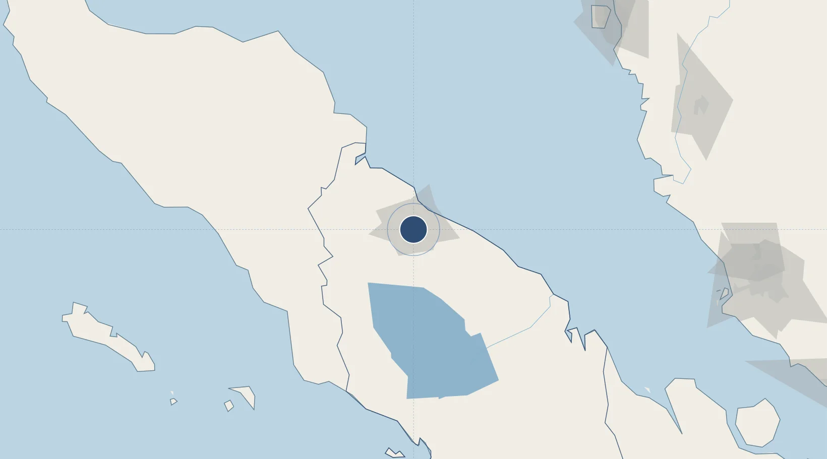
3.5584°, 98.6723°
9,514 ft
Longest runway
1
Runways
114 ft
Elevation

Runway & Layout

Soewondo Air Force Base runway & taxiway layout
Runway & taxiway layout — OpenStreetMap (ODbL) / OurAirports

Radio Frequencies

ATIS
126.8 MHz
MEDAN ATIS
TWR
118.1 MHz
APP
119.7 MHz
MEDAN APP
OurAirports

Navaids

MDN VOR-DME Medan 113.00 MHz
ON NDB Medan 375 kHz
OurAirports

Runways · 1

RunwayDimensions SurfaceTrue headingLit
05/23 9,514 × 148ft Asphalt 047°
OurAirports

Airport Specifications

IATA code
MES
OurAirports
ICAO code
WIMK
OurAirports
Airport class
Medium airport
OurAirports
Scheduled service
No
OurAirports
Runway surface
Asphalt
OurAirports
Served city
Medan
OurAirports

Location

Location of WIMK
Natural Earth 10m (public domain) · Sumatera Utara · WIMK · 3.56, 98.67GoogleOSMYandex

Nearby Logistics Neighbours

Airports
  1. 1Kualanamu International Airport24 km
  2. 2Alas Leuser Airport92 km
  3. 3Silangit Airport149 km
  4. 4Syekh Hamzah Fansyuri Airport163 km
  5. 5Pulau Pangkor Airport222 km
Nearest neighbours — logibook spatial index (haversine) over the source coordinates
Cities
  1. 1Medan, Sumatra15 km
  2. 2Belawan, Sumatra25 km
  3. 3Kualatanjung90 km
  4. 4Kualalangsa131 km
  5. 5Pulau Jarak163 km
Nearest neighbours — logibook spatial index (haversine) over the source coordinates
Ports
  1. 1Belawan25 km
  2. 2Pangkalansusu80 km
  3. 3Kuala Tanjung93 km
  4. 4Sibolga203 km
  5. 5Lumut230 km
Nearest neighbours — logibook spatial index (haversine) over the source coordinates
Trade Zones
  1. 1Medan Industrial Estate13 km
  2. 2Medan Star Industrial Estate15 km
  3. 3Sei Mangkei Special Economic Zone88 km
  4. 4KEK Arun Lhokseumawe255 km
  5. 5Bayan Lepas, Penang Commercial Free Zone Mukim 12, District Of Barat Daya260 km
Nearest neighbours — logibook spatial index (haversine) over the source coordinates
DatabookThe Record of Consolidated Knowledge
Indonesia beyond logistics?
Browse databook

All Sources

AirportsOurAirports
Public domain
Portsthe NGA World Port Index
Public domain (US gov)
LocationsUN/LOCODE
UN/LOCODE — free
Trade Zonesthe World Bank SEZ database
CC BY 4.0
Trade ZonesOpen Zone Map
CC BY
InfrastructureOpenStreetMap
ODbL 1.0
← Indonesia airports