Channel & Berth Profile
Pilotage, Tugs & Services
Pilotage compulsoryYES
Tug assistanceYES
Potable waterYES
Diesel bunkersYES
MedicalYES
Garbage disposalNO
Facilities & Capabilities
Container—
Ro-Ro—
Liquid bulk—
Dry bulk—
Oil terminal—
Break bulk—
Dry dock—
Repairs—
BunkeringYES
Rail link—
Dangerous cargo—
ISPS security—
Harbour Specifications
Harbour size
Very Small
Harbour type
River (Natural)
Shelter
Fair
Water body
North Atlantic Ocean
Tidal range
3 m
Pilotage
Yes
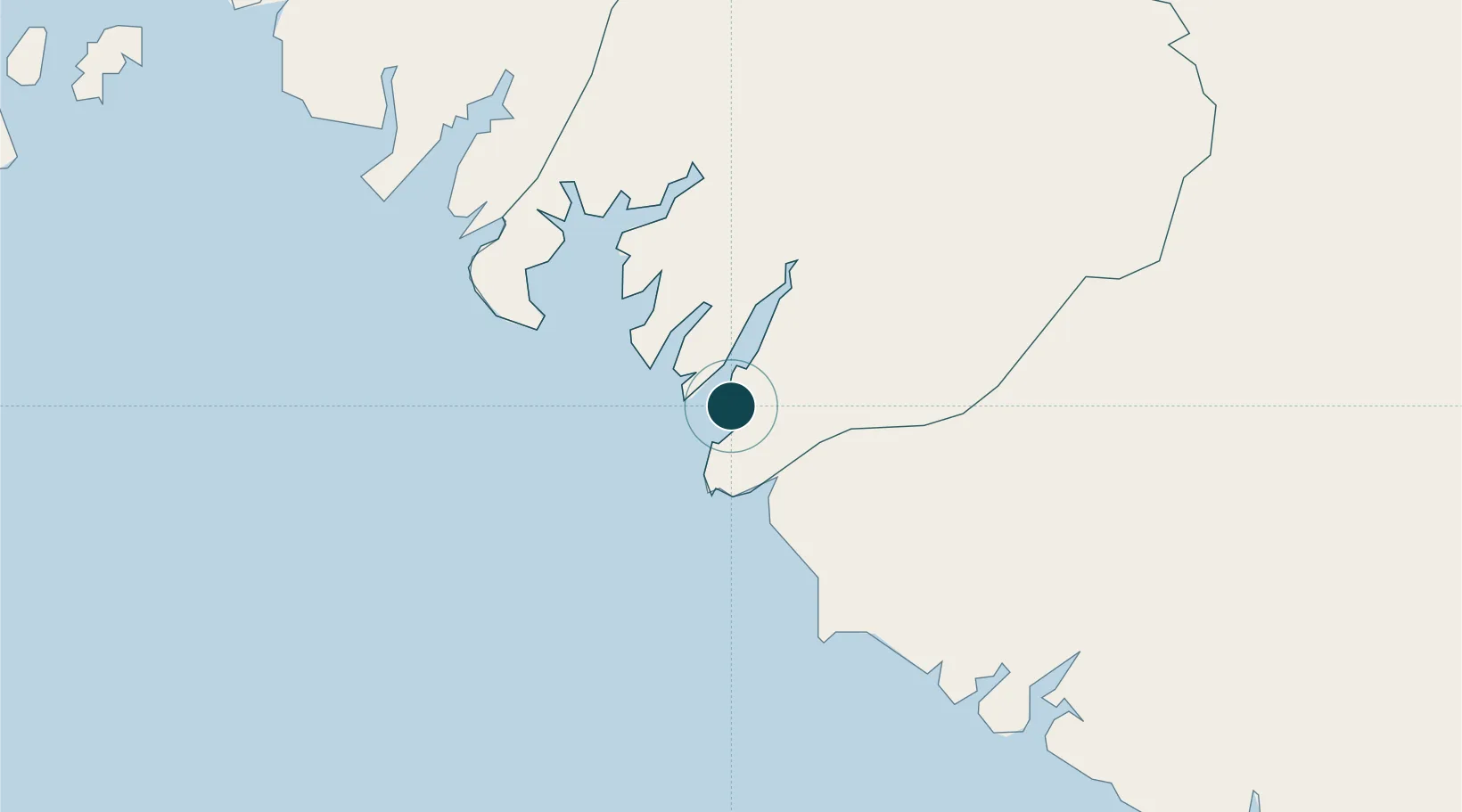
Location
Nearby Logistics Neighbours
Ports
- 1Conakry159 km
- 2Bissau176 km
- 3Benti225 km
- 4Rio Cacheu254 km
- 5Freetown282 km
Cities
- 1Port-Kamsar2 km
- 2Dougoula15 km
- 3Port de Boké17 km
- 4Dapilon27 km
- 5Bel-Air47 km
Airports
- 1Ahmed Sékou Touré International Airport161 km
- 2Osvaldo Vieira International Airport180 km
- 3Lungi International Airport273 km
- 4Ziguinchor Airport280 km
- 5Cap Skirring Airport304 km
Trade Zones
DatabookThe Record of Consolidated Knowledge
Guinea beyond logistics?