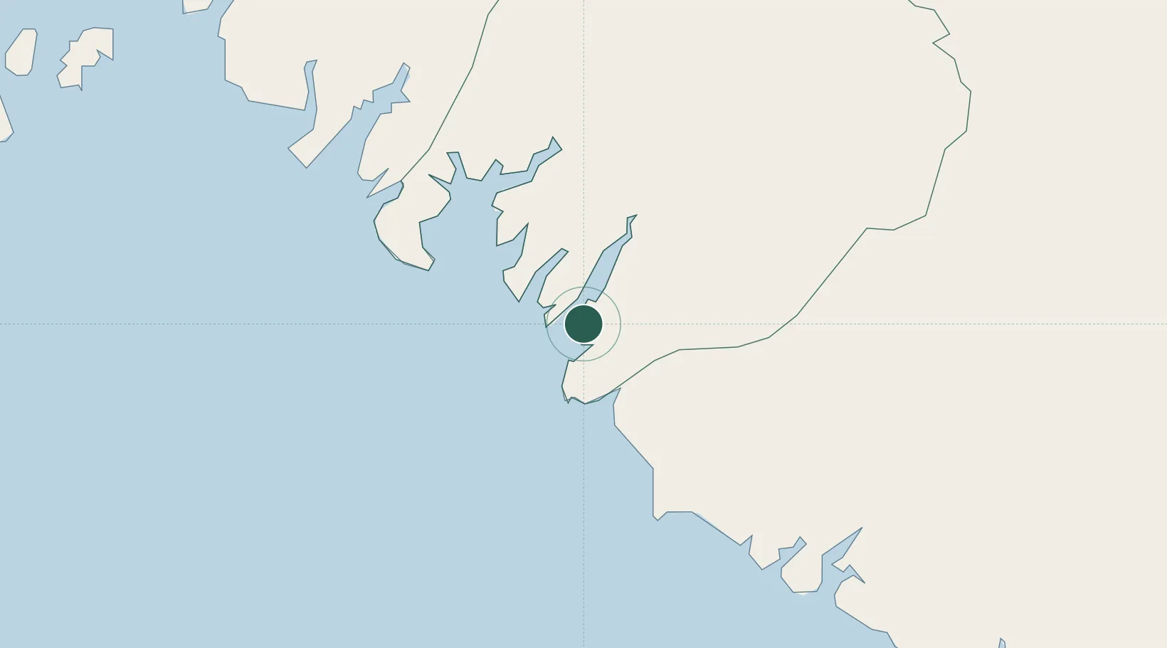
UN/LOCODE hub · Guinea
GNKMR

Port-Kamsar

10.6500°, -14.6167°
1
Transport functions

Transport Functions

Port
UN/LOCODE

Location

Location of GNKMR
Natural Earth 10m (public domain) · Boke · GNKMR · 10.65, -14.62GoogleOSMYandex

Nearby Logistics Neighbours

Cities
  1. 1Kamsar4 km
  2. 2Dougoula13 km
  3. 3Port de Boké18 km
  4. 4Dapilon26 km
  5. 5Bel-Air49 km
Nearest neighbours — logibook spatial index (haversine) over the source coordinates
Ports
  1. 1Kamsar2 km
  2. 2Conakry160 km
  3. 3Bissau175 km
  4. 4Benti227 km
  5. 5Rio Cacheu253 km
Nearest neighbours — logibook spatial index (haversine) over the source coordinates
Airports
  1. 1Ahmed Sékou Touré International Airport162 km
  2. 2Osvaldo Vieira International Airport179 km
  3. 3Lungi International Airport275 km
  4. 4Ziguinchor Airport279 km
  5. 5Cap Skirring Airport303 km
Nearest neighbours — logibook spatial index (haversine) over the source coordinates
Trade Zones
  1. 1Boké Special Economic Zone45 km
  2. 2Bolama Free Zone143 km
  3. 3Bijagós Special Tourism Zone166 km
  4. 4Multi-Sectoral Special Economic Zone of Bissau172 km
  5. 5New Koya City Aerotropolis (Airport City) and Economic Zone274 km
Nearest neighbours — logibook spatial index (haversine) over the source coordinates
DatabookThe Record of Consolidated Knowledge
Guinea beyond logistics?
Browse databook

All Sources

LocationsUN/LOCODE
UN/LOCODE — free
Portsthe NGA World Port Index
Public domain (US gov)
AirportsOurAirports
Public domain
Trade Zonesthe World Bank SEZ database
CC BY 4.0
Trade ZonesOpen Zone Map
CC BY
← Guinea locations