Transport Functions
Port
Road
Hub Profile
Region
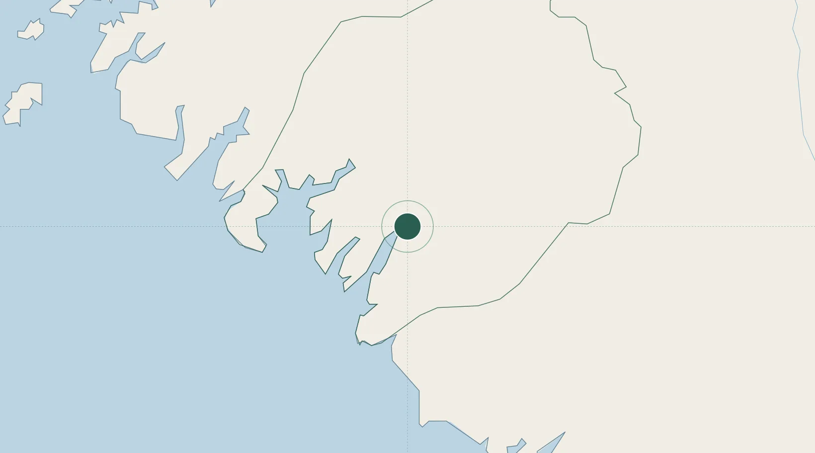
BK
Location
Nearby Logistics Neighbours
Cities
- 1Dougoula12 km
- 2Kamsar22 km
- 3Port-Kamsar26 km
- 4Port de Boké44 km
- 5Bel-Air69 km
Ports
- 1Kamsar27 km
- 2Bissau168 km
- 3Conakry171 km
- 4Benti235 km
- 5Rio Cacheu247 km
Airports
- 1Osvaldo Vieira International Airport171 km
- 2Ahmed Sékou Touré International Airport172 km
- 3Ziguinchor Airport271 km
- 4Lungi International Airport287 km
- 5Cap Skirring Airport299 km
Trade Zones
DatabookThe Record of Consolidated Knowledge
Guinea beyond logistics?