Large airport · Guinea

Ahmed Sékou Touré International AirportGUCY
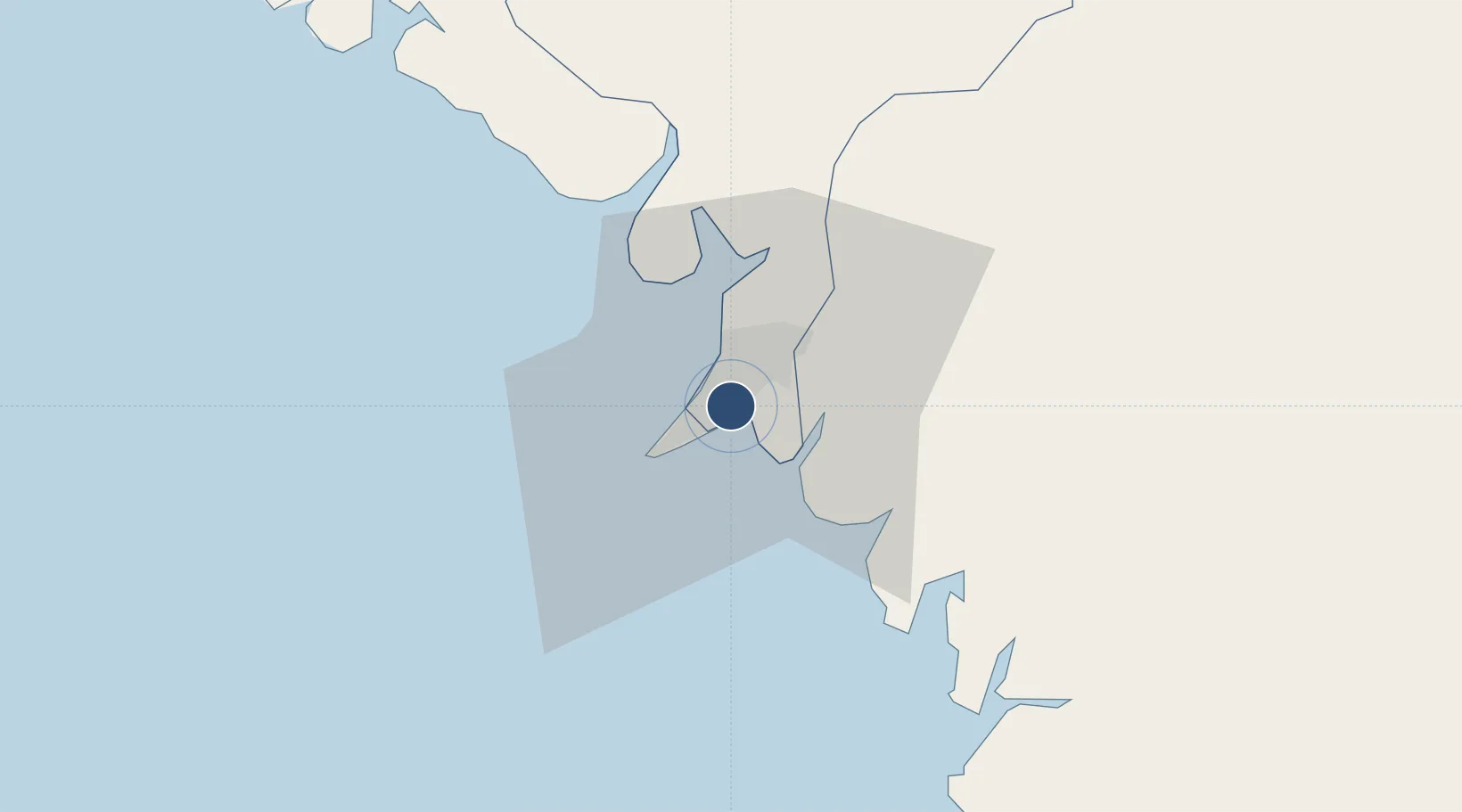
9.5769°, -13.6120°
10,826 ft
Longest runway
1
Runways
72 ft
Elevation

Runway & Layout

Ahmed Sékou Touré International Airport runway & taxiway layout
Runway & taxiway layout — OpenStreetMap (ODbL) / OurAirports

Radio Frequencies

TWR
118.7 MHz
GND
129.1 MHz
APP
119.7 MHz
A/G
658.9 MHz
AIR GND
OurAirports

Navaids

CY NDB Conakry 395 kHz
GIA VOR-DME Conakry 114.90 MHz
KR NDB Conakry 365 kHz
OurAirports

Runways · 1

RunwayDimensions SurfaceTrue headingLit
06/24 10,826 × 148ft Asphalt 049°
OurAirports

Airport Specifications

IATA code
CKY
OurAirports
ICAO code
GUCY
OurAirports
Airport class
Large airport
OurAirports
Scheduled service
Yes
OurAirports
Runway surface
Asphalt
OurAirports
Served city
Conakry
OurAirports

Location

Location of GUCY
Natural Earth 10m (public domain) · Dubréka · GUCY · 9.58, -13.61GoogleOSMYandex

Nearby Logistics Neighbours

Airports
  1. 1Lungi International Airport116 km
  2. 2Bo Airport273 km
  3. 3Yengema Airport302 km
  4. 4Kenema Airport327 km
  5. 5Osvaldo Vieira International Airport341 km
Nearest neighbours — logibook spatial index (haversine) over the source coordinates
Cities
  1. 1Conakry6 km
  2. 2Conakry Eco13 km
  3. 3Dubreka26 km
  4. 4Boffa82 km
  5. 5Kindia99 km
Nearest neighbours — logibook spatial index (haversine) over the source coordinates
Ports
  1. 1Conakry13 km
  2. 2Benti64 km
  3. 3Pepel127 km
  4. 4Freetown127 km
  5. 5Kamsar161 km
Nearest neighbours — logibook spatial index (haversine) over the source coordinates
Trade Zones
  1. 1New Koya City Aerotropolis (Airport City) and Economic Zone116 km
  2. 2Guoji Industry and Trade Zone129 km
  3. 3First Step Economic Opportunity Zone Newton154 km
  4. 4Boké Special Economic Zone163 km
  5. 5Bolama Free Zone305 km
Nearest neighbours — logibook spatial index (haversine) over the source coordinates
DatabookThe Record of Consolidated Knowledge
Guinea beyond logistics?
Browse databook

All Sources

AirportsOurAirports
Public domain
Portsthe NGA World Port Index
Public domain (US gov)
LocationsUN/LOCODE
UN/LOCODE — free
Trade Zonesthe World Bank SEZ database
CC BY 4.0
Trade ZonesOpen Zone Map
CC BY
InfrastructureOpenStreetMap
ODbL 1.0
← Guinea airports