Medium airport · Senegal

Cap Skirring AirportGOGS
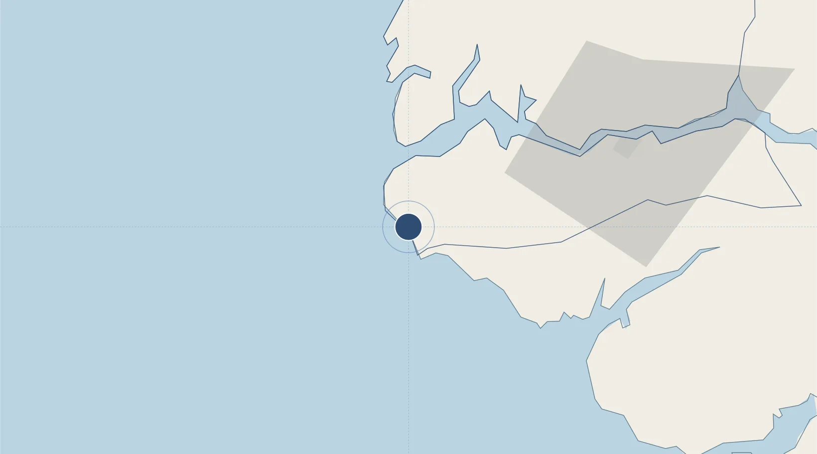
12.3953°, -16.7480°
6,573 ft
Longest runway
1
Runways
52 ft
Elevation

Runway & Layout

Cap Skirring Airport runway & taxiway layout
Runway & taxiway layout — OpenStreetMap (ODbL) / OurAirports

Radio Frequencies

TWR
118.9 MHz
A/G
568 MHz
RDO
OurAirports

Navaids

SKN NDB Cap Skiring 398 kHz
OurAirports

Runways · 1

RunwayDimensions SurfaceTrue headingLit
14/32 6,573 × 98ft Asphalt 136°
OurAirports

Airport Specifications

IATA code
CSK
OurAirports
ICAO code
GOGS
OurAirports
Airport class
Medium airport
OurAirports
Scheduled service
Yes
OurAirports
Runway surface
Asphalt
OurAirports
Served city
Cap Skirring
OurAirports

Location

Location of GOGS
Natural Earth 10m (public domain) · Ziguinchor · GOGS · 12.40, -16.75GoogleOSMYandex

Nearby Logistics Neighbours

Airports
  1. 1Ziguinchor Airport54 km
  2. 2Banjul International Airport105 km
  3. 3Osvaldo Vieira International Airport131 km
  4. 4Kaolack Airport209 km
  5. 5Blaise Diagne International Airport256 km
Nearest neighbours — logibook spatial index (haversine) over the source coordinates
Cities
  1. 1San Francisco Libre50 km
  2. 2Ziguinchor56 km
  3. 3Cacheu67 km
  4. 4Sanyang97 km
  5. 5Sukuta112 km
Nearest neighbours — logibook spatial index (haversine) over the source coordinates
Ports
  1. 1Rio Cacheu57 km
  2. 2Banjul119 km
  3. 3Bissau135 km
  4. 4Lyndiane207 km
  5. 5Rufisque263 km
Nearest neighbours — logibook spatial index (haversine) over the source coordinates
Trade Zones
  1. 1Banjul Airport Export Processing Zone106 km
  2. 2GIETAF Special Economic Zone107 km
  3. 3July 22 Business Park108 km
  4. 4Multi-Sectoral Special Economic Zone of Bissau140 km
  5. 5Bijagós Special Tourism Zone157 km
Nearest neighbours — logibook spatial index (haversine) over the source coordinates
DatabookThe Record of Consolidated Knowledge
Senegal beyond logistics?
Browse databook

All Sources

AirportsOurAirports
Public domain
Portsthe NGA World Port Index
Public domain (US gov)
LocationsUN/LOCODE
UN/LOCODE — free
Trade Zonesthe World Bank SEZ database
CC BY 4.0
Trade ZonesOpen Zone Map
CC BY
InfrastructureOpenStreetMap
ODbL 1.0
← Senegal airports