Transport Functions
Port
Road
Hub Profile
Place type
Populated place
Region
Boké Region
Time zone
Africa/Conakry
Elevation
2 m
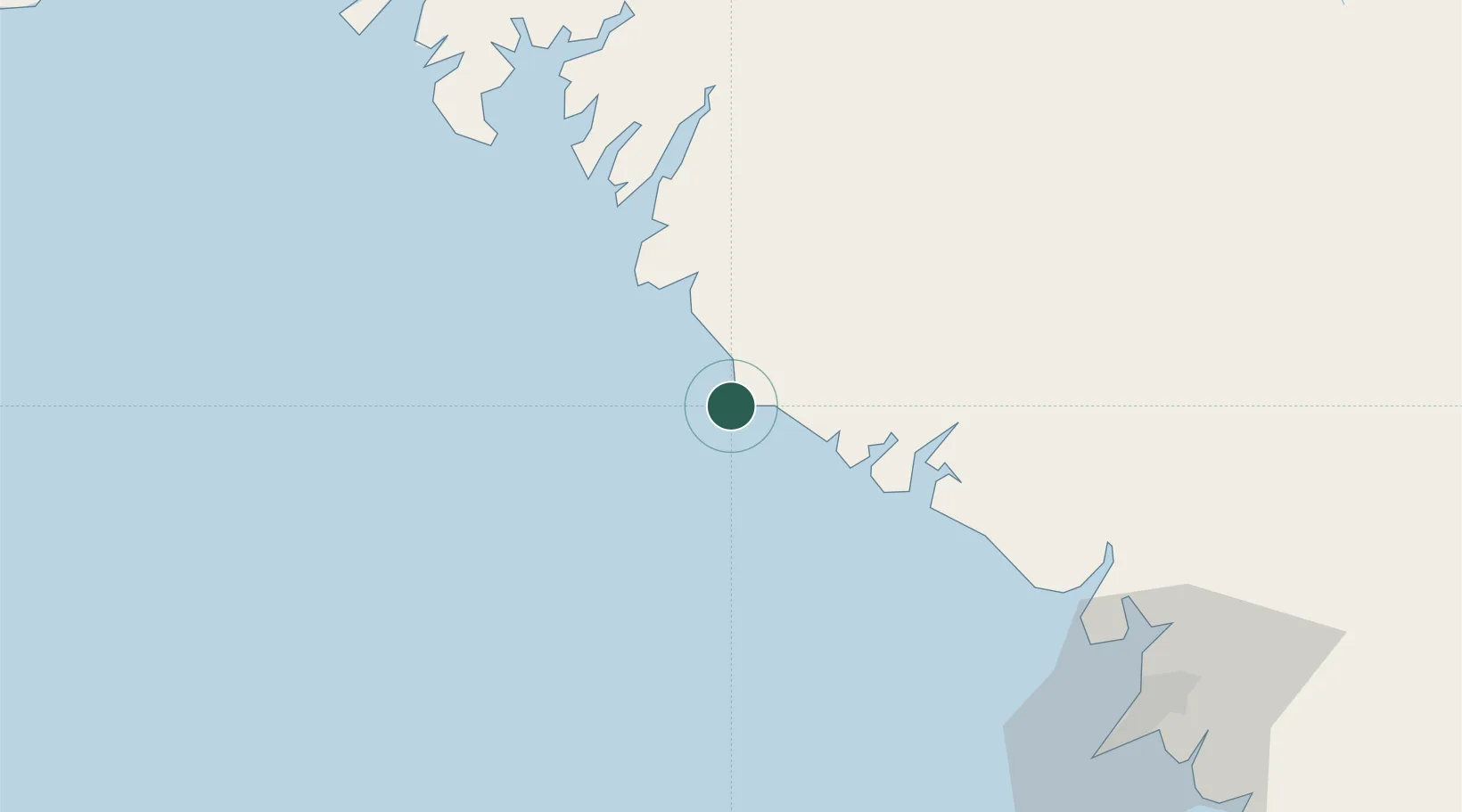
Location
Nearby Logistics Neighbours
Cities
- 1Port de Boké42 km
- 2Boffa48 km
- 3Port-Kamsar49 km
- 4Kamsar50 km
- 5Dougoula58 km
Airports
- 1Ahmed Sékou Touré International Airport119 km
- 2Osvaldo Vieira International Airport226 km
- 3Lungi International Airport228 km
- 4Ziguinchor Airport325 km
- 5Cap Skirring Airport346 km
Trade Zones
DatabookThe Record of Consolidated Knowledge
Guinea beyond logistics?