Large airport · Sierra Leone
Lungi International AirportGFLL
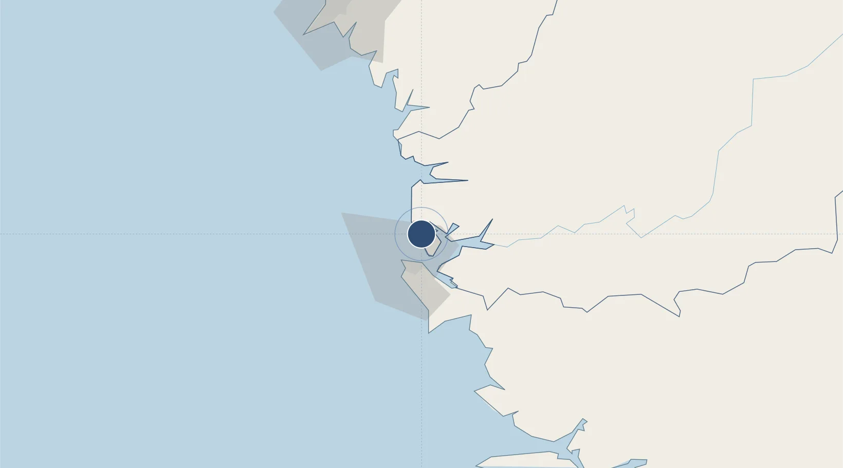
8.6164°, -13.1955°
10,498 ft
Longest runway
1
Runways
84 ft
Elevation
Runway & Layout

Radio Frequencies
TWR
118.1 MHz
GND
121.9 MHz
APP
119.1 MHz
A/G
667.3 MHz
A/G VOICE RDO
Navaids
LGI VOR-DME Freetown Lungi 115.50 MHz
LGI NDB Freetown Lungi 339 kHz
SL NDB Freetown Lungi 270 kHz
Runways · 1
| Runway | Dimensions | Surface | True heading | Lit |
|---|---|---|---|---|
| 12/30 | 10,498 × 150ft | Asphalt | 107° | ✓ |
Airport Specifications
IATA code
FNA
ICAO code
GFLL
Airport class
Large airport
Scheduled service
Yes
Runway surface
Asphalt
Served city
Freetown (Lungi-Town)
Location
Nearby Logistics Neighbours
Airports
- 1Ahmed Sékou Touré International Airport116 km
- 2Bo Airport175 km
- 3Yengema Airport236 km
- 4Kenema Airport236 km
- 5Spriggs Payne Airport373 km
Cities
- 1Freetown15 km
- 2Kissy17 km
- 3Conakry Eco113 km
- 4Conakry117 km
- 5Dubreka134 km
DatabookThe Record of Consolidated Knowledge
Sierra Leone beyond logistics?